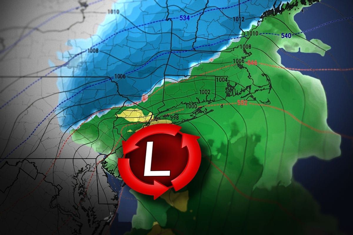
Well coastal dwellers, you're probably safe from this one, but we have a snowstorm that should bring measurable snow to all but 5 of the 103 tracked ski areas across the Northeast by the end of Tuesday. This is a true nor'easter, kind of a hybrid between a Miller Type A and B. Note, I have changed this to just being a Tuesday storm as only a little bit of snow will fall past midnight on Wednesday morning near the Gulf of Maine.
This does mean 2 opportunities for a powder day, Tuesday in spots for free refills (as well as a super messy drive home), and Wednesday for the full depth and plowed roads but a quick chop up of the snow from traffic and it may be groomed. Operations are still limited and so is terrain and I'll help everyone understand what that means if you want to hit this, and even if you don't.
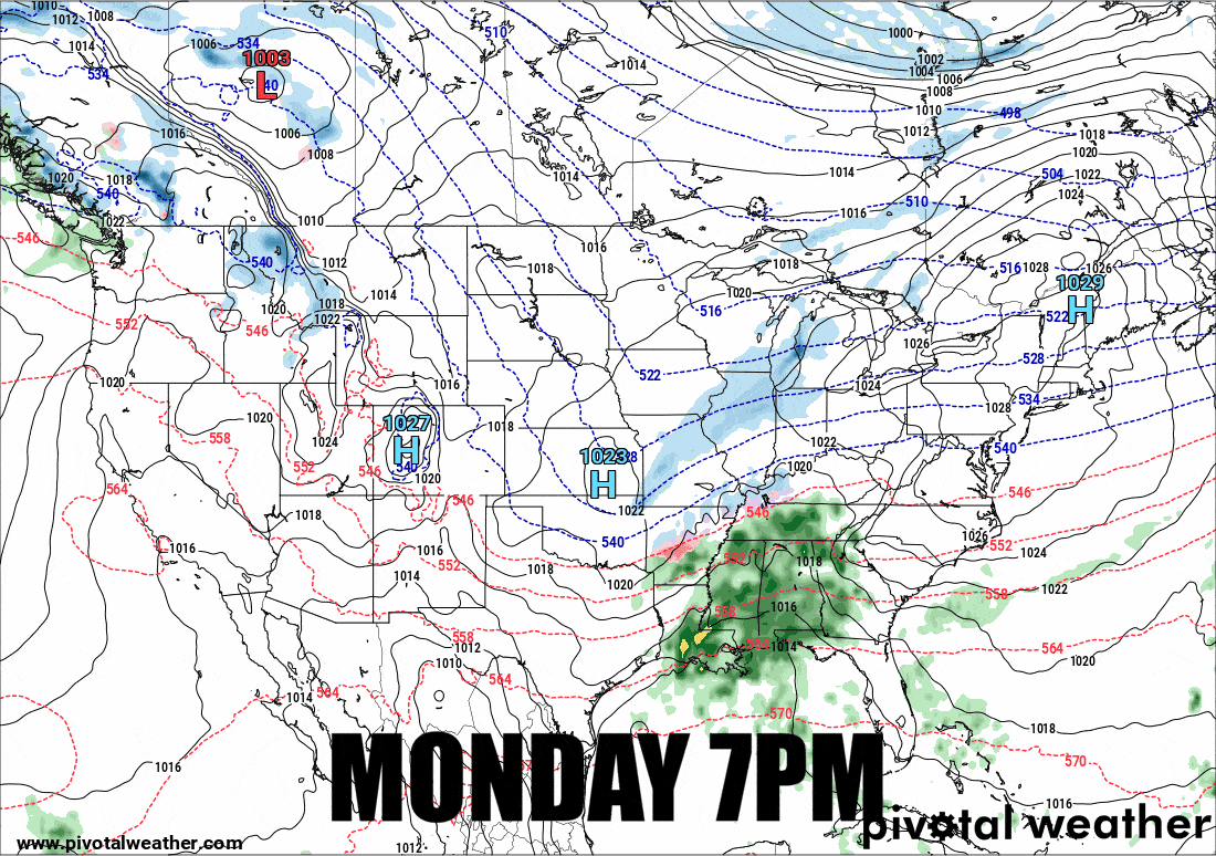
So let's look at the broad view covering 36 hours from Monday at 7PM through 7AM on Wednesday from the GFS.
I'm going to start with the Snowfall Forecast, then jump into the Wind Hold Forecast (there are no wind issues folks but it helps to make that bold), and then the Travel Forecast, and finally How to Hunt.


