I've got a treat to share with everyone. Our friends at Black Mountain in NH are going to re-open for just this storm on Tuesday (they currently are operating Fri-Sun in the early season), and they are offering FREE SKIING AND RIDING for everyone who has a season pass for any closed ski area in the Northeast, and $25 tickets for everyone who doesn't have pass coverage to Black. Now to be clear, this doesn't apply to Epic and Ikon passes as they both have operating ski areas (you'll have to pay $25), but any of the single or dual mountain pass holders for mountains that haven't opened or are closed during the week qualify. You must reserve your spot ahead of time however and pressing the button below will get you to that page:
If you are looking to ski on Tuesday I have updated the map of operating ski areas with 22 in total. Note that Jiminy Peak, Bromley, Bolton Valley, and Greek Peak are taking the mid-week off along with Black Mountain with the exception of Tuesday, and Wildcat will be opening on Wednesday for the season. We'll have a slew of new openings by this weekend and I'll try to track those for you all but announcements may come as late as Thursday evening.
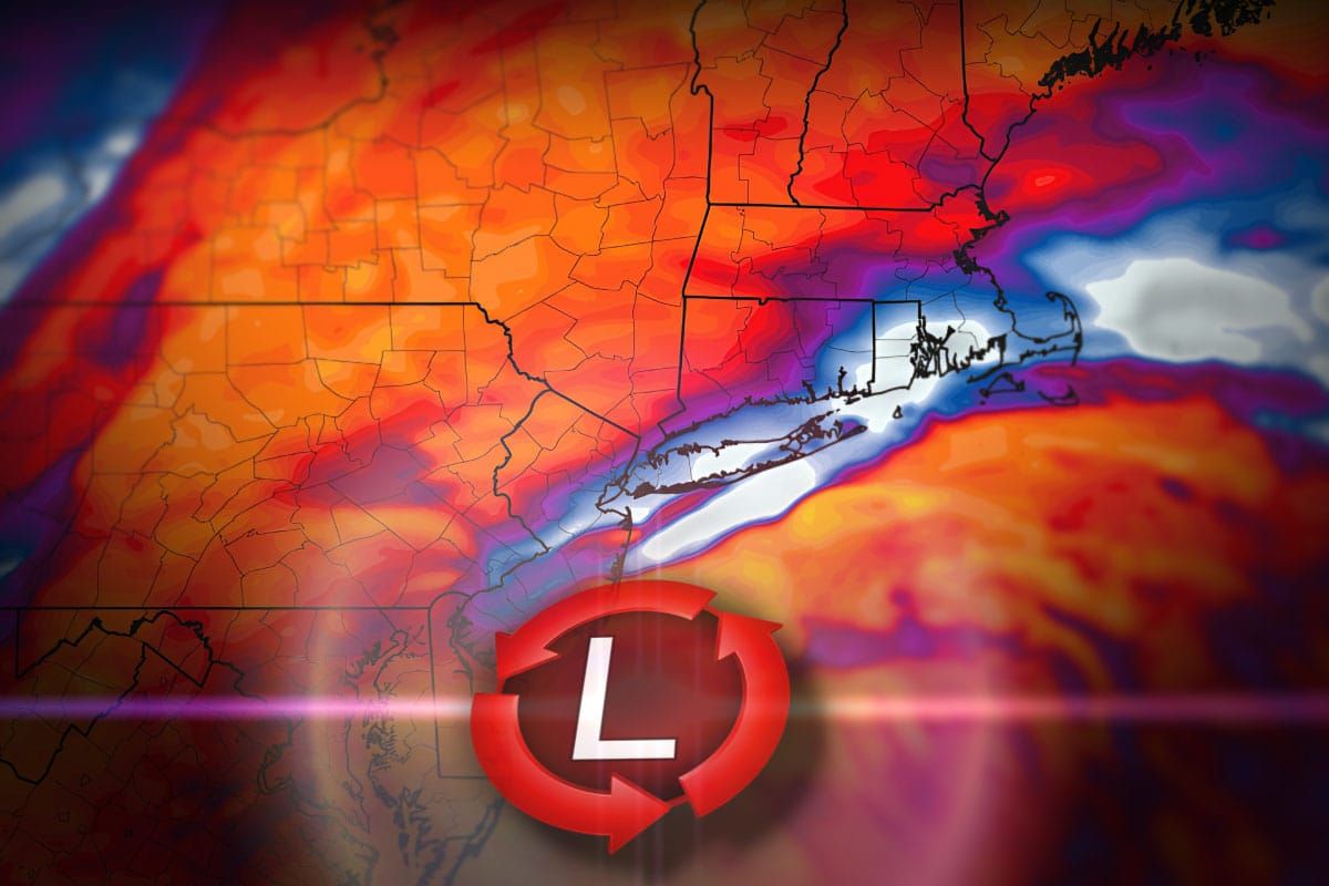
Just a quick warning before I start to dive deeper. There's been a TON of sharing of snowfall maps on the internets that combined Sunday's and Tuesday's snow suggesting a much bigger storm. NWS maps are generally 72 hours in coverage. This is still what I would consider to be a light to moderate intensity nor'easter. People also keep asking me about storms next weekend. Unskilled people promote storms 7+ days out and it creates confusion. Those storms were fantasies in the modeling. They do this for clicks but I don't! I do this to get people to subscribe for reliable and knowledgeable coverage of not just the snow but all aspects related to weather and beyond that can impact your skiing and riding enjoyment. Snowology is both different and unique.
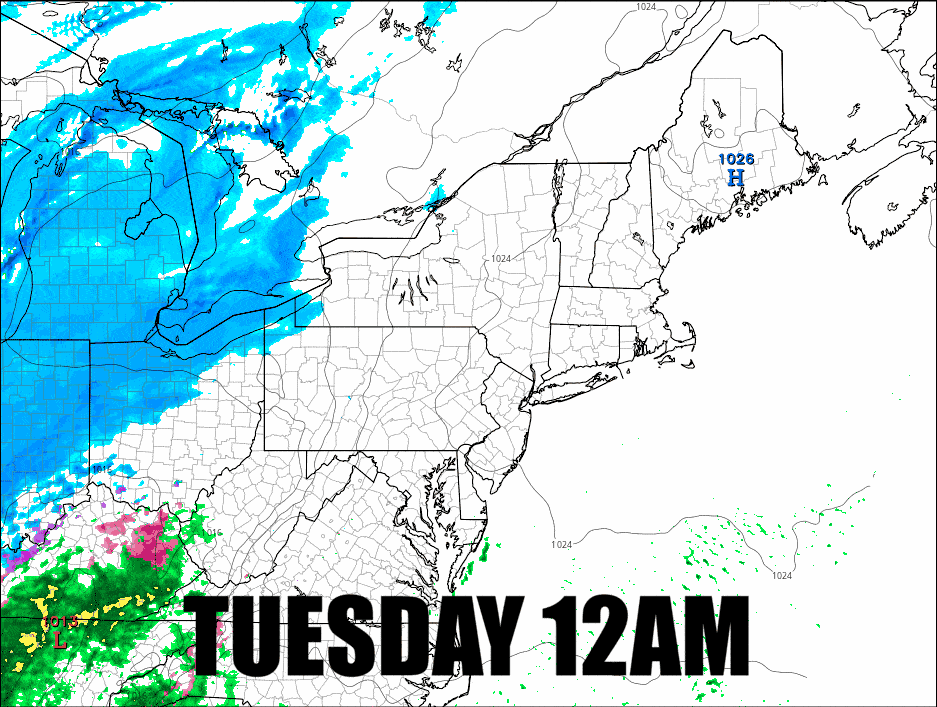
So let's talk about the snow! Here's the latest NAM3K simulated radar. The NAM tends to waffle between runs and this run came in a little over-amped I think, probably shifted a bit too far north and west as a result, so that changeover line may be further south and east than shown. I would expect this is probably within 25 miles of what actually happens.
I'm going to revisit the Snowfall Forecast, the Travel Forecast, and How to Hunt It for subscribers, but first I also want to remind everyone that there are zero wind hold concerns on Tuesday and Wednesday, and also that open terrain is generally low so don't show up thinking it is a mid-winter powder day with wall to wall terrain.


