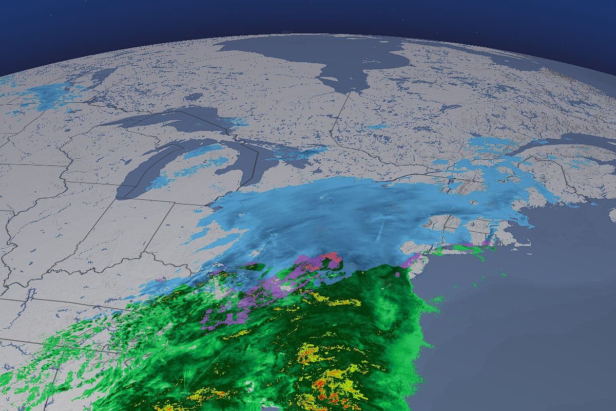
The storm is already widespread in much of Pennsylvania and New York with some bands stretching all the way to Maine, and it will exit the Northeast in about 24 more hours.
This is a brief update without a lot of added detail besides a refresh of the Operating Status Tracker and a final Snowfall Forecast. In this final forecast I have detailed the mixing line and adjusted some snow to reflect a continued drift of the storm center to the southeast. I also wanted to take this opportunity to share with everyone some added work that we have done on our radar which is under the Weather tab on our site and is free to use for everyone regardless of whether they are a subscriber or not! It's a great way to watch this storm.
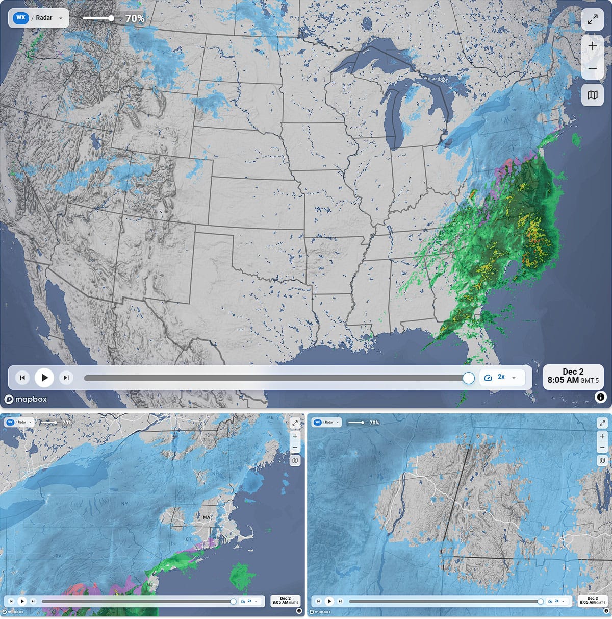
This is our "Light" map baselayer, and we also have a Dark map and a Satellite map baselayer also depending on your preference. We've tweaked the colors to make snow look like snow, and also refined those basemaps. At different zoom levels there will be different details shown with more appearing as you zoom in. We have added interstates and other 4 lane highways once you get to the regional view, and as you zoom in closer to the state level county lines will also appear. This is similar to our forecast maps and the county lines will help you pinpoint where things are located if you also consult our forecast maps.
After we launch automated resort weather we'll double back to the radar and add in all 180 ski areas on the East Coast that we are tracking, from Cloudmont in Alabama to Le Massif in Quebec and everything in between. While we are only covering some of the most popular ski areas in Ontario and Quebec, we are going to be including every single operating ski area on the East Coast from municipal rope tows on 180' hills to mountains with over 3,000' of vert. They will appear at different zoom levels on our maps since we can't fit all of them in at once on your screen of course, and every single one of these ski areas will have 7 day forecasts down to the hour. So if you want to use our radar, just visit our site and press on the Weather tab, or simply click the button below:
Here's the updated Operating Status Tracker for today. Both Greek Peak and Jiminy Peak were incorrectly listed yesterday as being open. Keep in mind also that Black Mountain will close after today and open on Fri-Sun until sometime in mid-December, but my guess is they might open on powder days midweek if we have another one.
And now onto the updated Snowfall Forecast. Please see Storm Update #3: Tuesday 12/2 for added details.


