Sometimes people use our coverage to hunt pow and great conditions, and other times people use it to avoid bad conditions and operational issues related to the weather. This storm is of course the latter, but the coverage is no less useful especially with the start of the holiday ski season upon us.
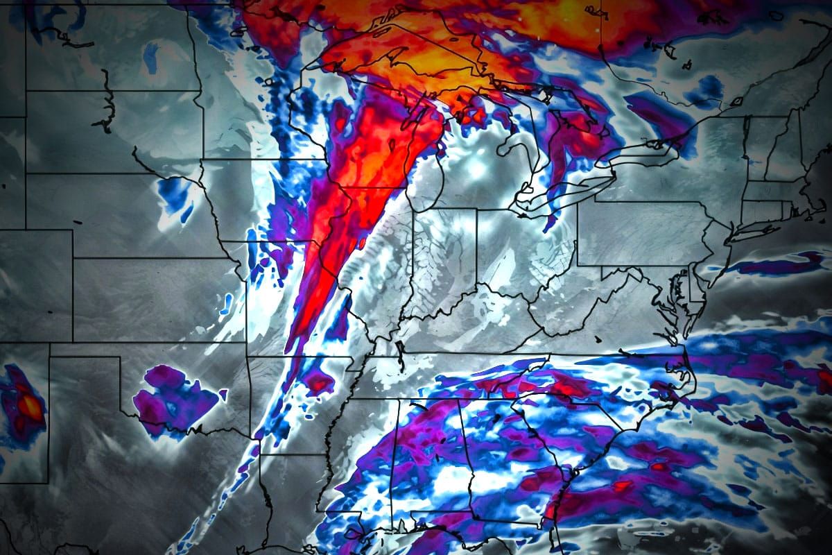
I covered this storm pretty well in the first update but now we're ready to dial in the timing and impacts better. We'll start with a simulated radar loop covering Friday at 7AM through Sunday at 7AM with the broad view so that you can see the full scope of the cutter.
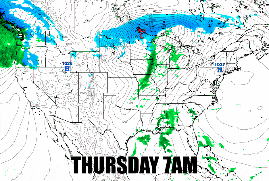
We'll have impacts from r@!n, wind, and even lightning during the day on Friday with a little snow on the back end and also issues with a flash freeze and wind on Saturday. This time I'm going to cover the details in one chronological section for subscribers so that they can plan around and prepare appropriately for the weather this weekend. We've seen way worse of course as this is the Ice Coast no less but it is a good time to sharpen your edges in order to make the most out of conditions.


