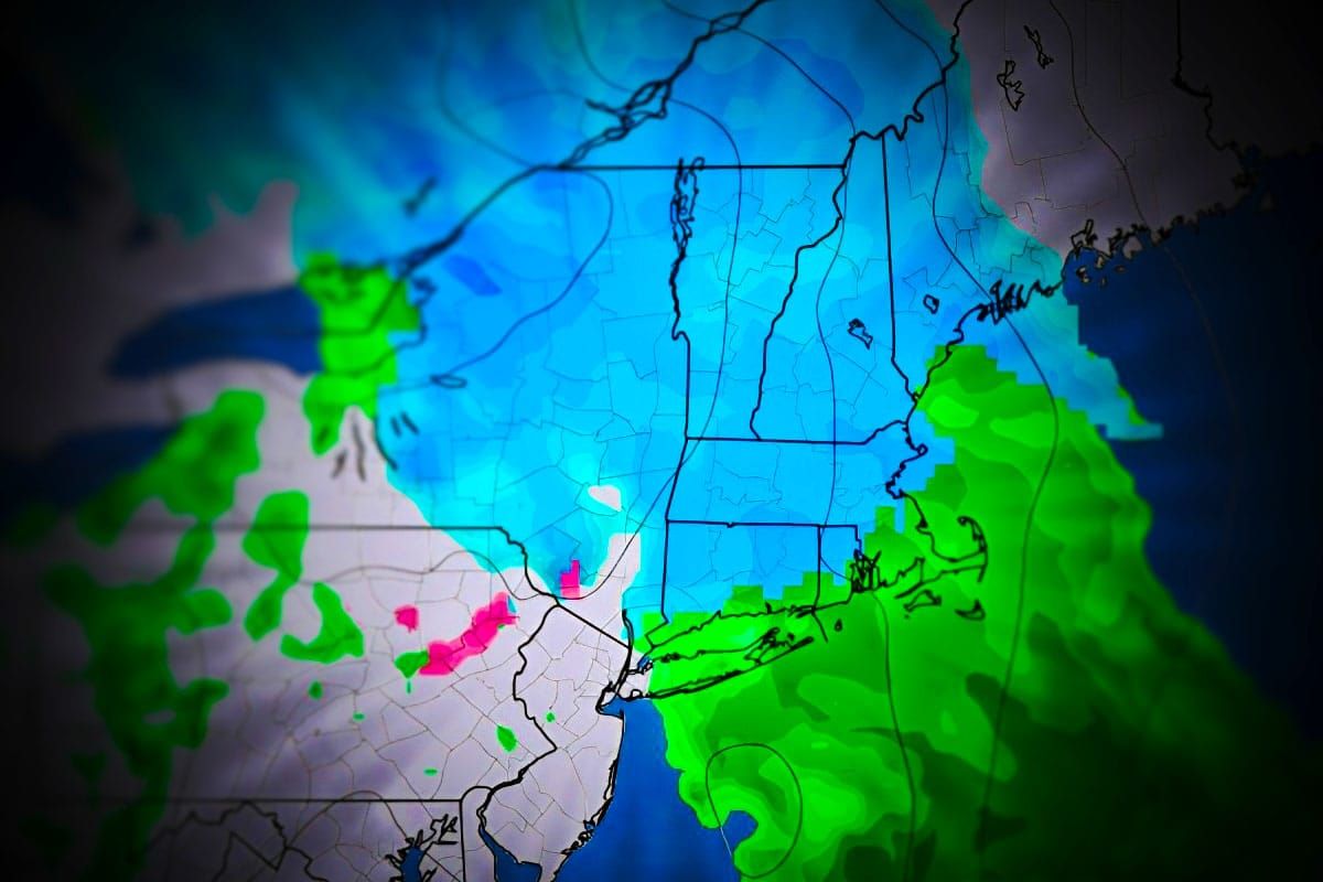
OK folks, I'm upgrading this system to a "Storm" as we have 33 ski areas where 6+ inches is expected through close on Wednesday and over a foot is expected at some. HOOYEAH!
Now this isn't your typical storm but rather a slow moving shortwave along a boundary that slowly inches northeast across the region and on Wednesday modeling is still universally expecting an inverted trough to dump some focused snow somewhere along the Maine Seacoast as winds pick up across the region that morning also causing some lift holds at resorts. We have 48 hours of snowfall ahead of us across the region and the flakes have just started to fly though the real action starts early on Tuesday morning.
Let's start with the broad view covering the 48 hour period of this system:
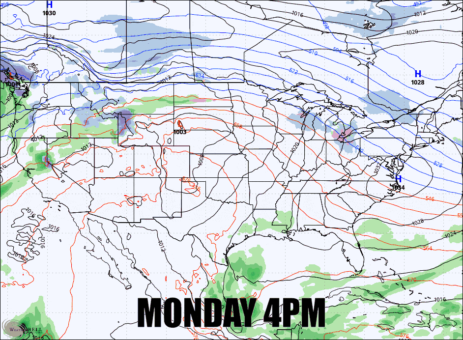
I'm going to lump everything into one Storm Forecast section for subscribers this time, but I'm going to cover timing along with a 48 hour simulated radar loop and an annotated snowfall map to help you understand what falls before and after close on Tuesday so that you can time it right, our own snowfall forecast of course with some discussion on what this does to natural terrain, and then a wind hold forecast for Wednesday.


