I have already gone into the nuance of this system in the last update and this update will be purely refinements to the forecast with a new snowfall map that goes from 4PM today through 4PM tomorrow which is a good indication of the fresh snow you will see tomorrow and mostly at open. The wind hold forecast will also be updated and the threat there is significantly diminished as modeling now sees the wind departing mostly before open though there will probably be a few trouble spots in the first part of the day.
The first part of this storm has come in a little colder adding accumulating snow at WNY and CNY ski areas beyond expectations but I am reducing expectations as a whole in the ADKs, Greens, and Whites by up to 2". Modeling also now puts that inverted trough just northwest of Portland which will provide some additional enhancement to the Whites and Longfellows and generally an extra 1-"2" of snow expected as a result in more eastern parts though this won't necessarily change ranges from yesterday. The new forecast will not feature snowfall that happens before 4PM today and most changes to the map will simply reflect a subtraction of what has already fallen.
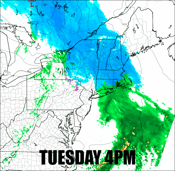
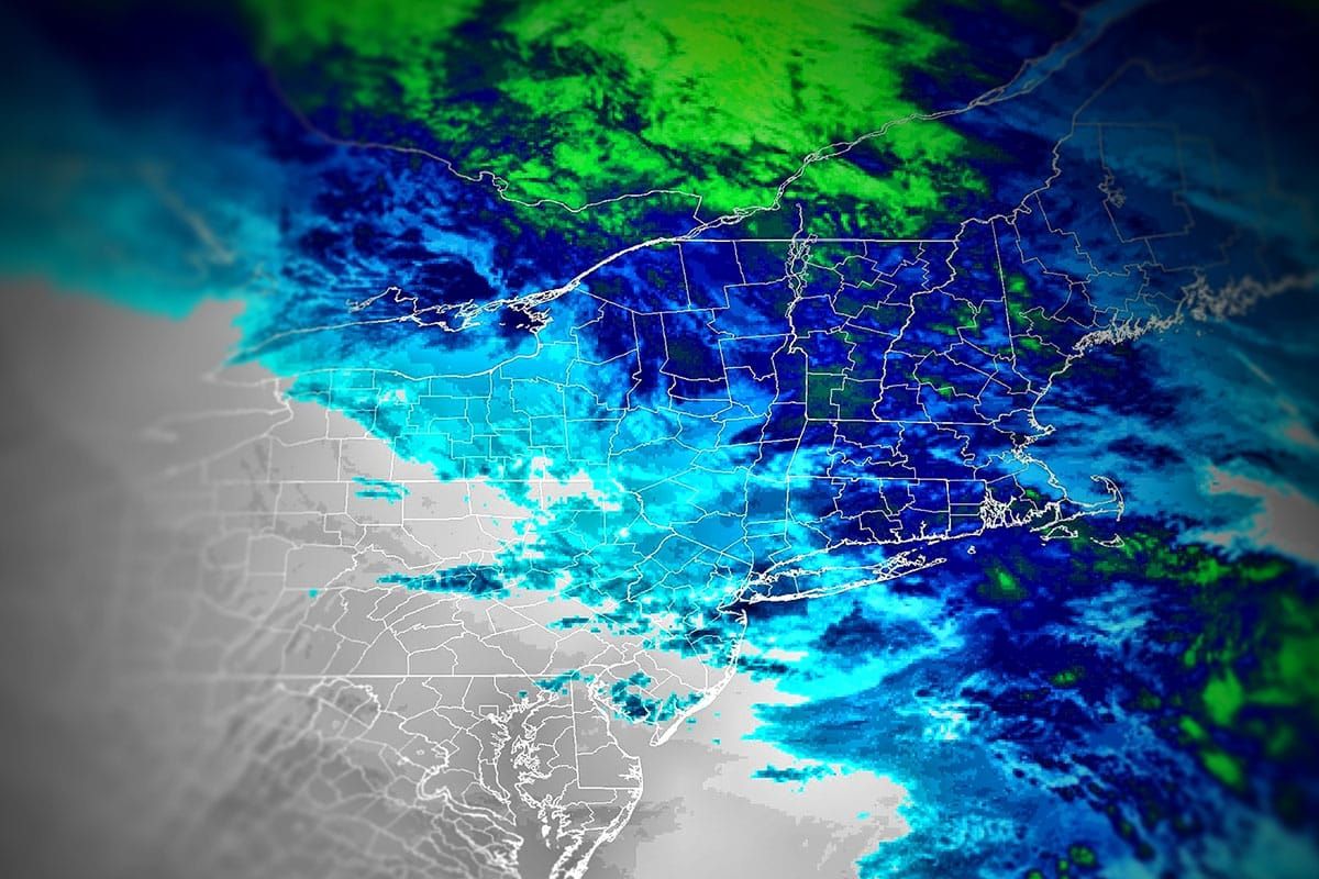
We'll start with a 24 hour loop of the storm during this timeframe and then I'll jump into the forecast updates for subscribers.