I'm sure you've heard the weather hype already, we have a nasty storm on the way that will impact the Northeast between Friday afternoon and Saturday morning bringing r@!n, freezing r@!n, sleet, and snow. In our opinion the snow ain't so bad of course, and sleet is a perfectly fine surface though it can foul up the lifts, but we could do without the other two types.
This is the result of an "anafront" type of setup, and they are notorious for freezing r@!n which is the most impactful of them all, but they can also dump inches of sleet and heavy snowfall in a tight area. I'm sure to most an anafront sounds like weather jargon so I drew up a schematic to demonstrate how this works.
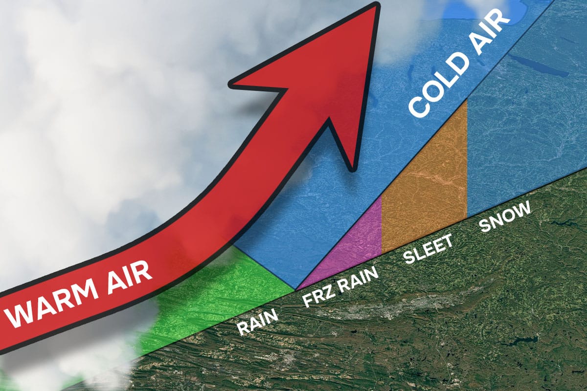
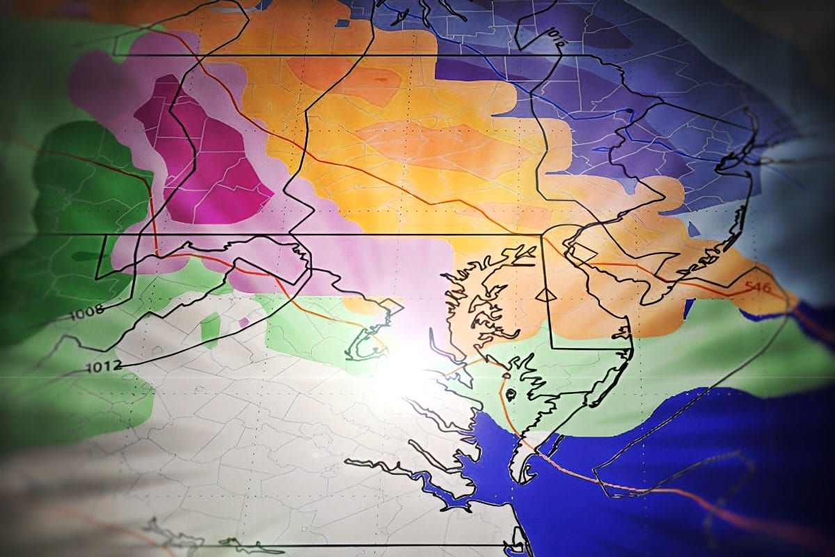
We will have a cold air boundary draped over WNY and PA with weak low pressure coming from the Midwest that will push warm moist air into that boundary. Because warm air is is more buoyant than cold air, it rises over the top of the cold air creating instability and precipitation. As the precipitation pushes over the cold wedge of air the r@!n first changes to freezing r@!n, then to sleet when there is enough cold air to refreeze the melted snow before it hits the ground, and then snow when the warm air no longer pushes deep enough and also moderates.
Modeling shows this boundary barely moving and that means these precipitation types will mostly last for the entire storm over each location. There isn't a lot of moisture though, so if you melted it all then we will probably top off generally at about 3/4" of water, and the heaviest precip is typically right at the edge of that wedge and it gets lighter as you move north and colder types of precipitation become dominant. Let's look at a loop of the GFS covering all of Friday and Saturday to demonstrate this.
I'll dive into the Precipitation Forecast for our subscribers with a focus on who gets what, how much, and what sorts of issues it might cause. This will be updated daily through Friday when our attention then turns to a system starting late Sunday that looks messy up front but will likely result in back end snow through at least Wednesday.


