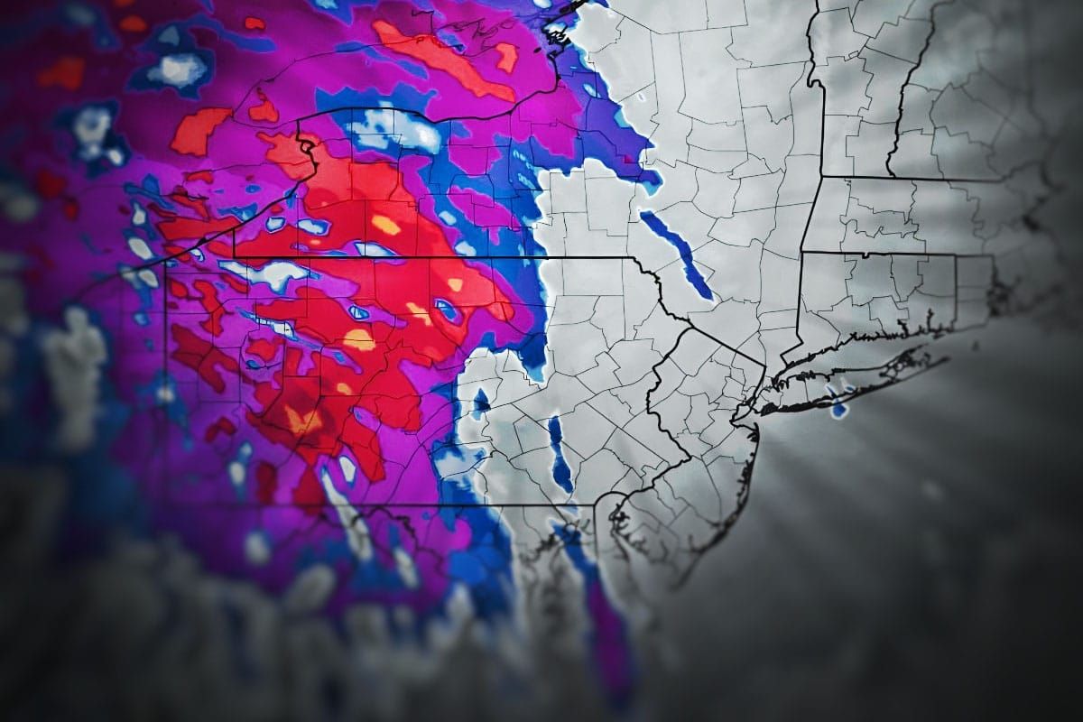
So let's get down to business. I have the precipitation types mapped out and the snowfall forecasted, and this time I'm not going to get deep into the details about the storm but if you want those then you should take a gander at Storm Update #1. We'll start off with the broad view showing this anafront type of setup with a mixed bag of precipitation, but a tight area of good snowfall.
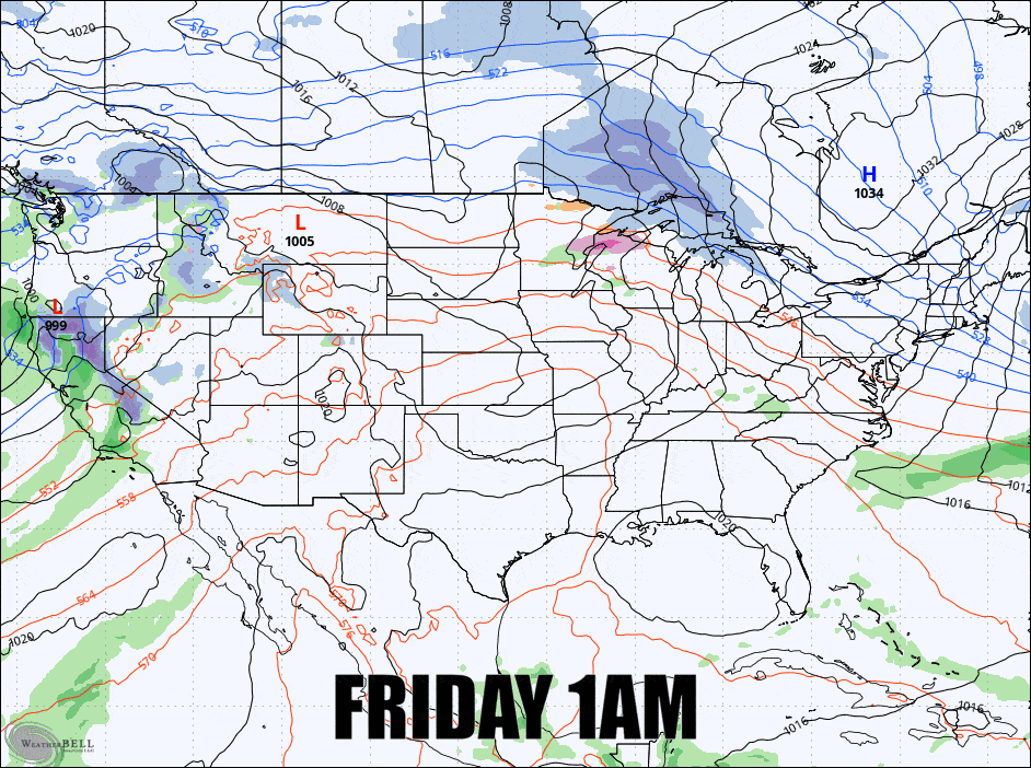
I'm going to cover this for subscribers in one section called the Storm Forecast which breaks down all of the important elements for skiers and riders as well as for travel which will mostly be an issue on Friday evening. I will also give a preview of the Monday Storm which will bring another round of ice, likely to northern areas, three days of potential wind issues, but potentially 5 days of back end snow.


