Buckle up!
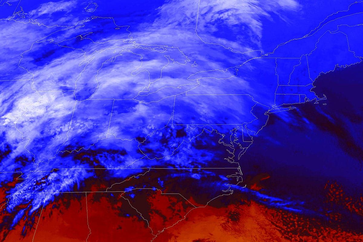
We have a major ice storm that will primarily hit the ADKs and Northern New England with accretions on power lines, tree limbs, and chair lifts of up to 1/2" of ice. Beginning this evening this will cause issues with travel, power, and of course ski area operations on Monday. There is a warm sector that everyone in the Northeast will experience during the day that should help with clearing the ice though r@!n will also be a component, and then things freeze back up Monday night for the long haul.
Behind this storm will be strong winds on Tuesday along with upsloping snow and lake effect which will mostly accumulate through the end of Wednesday that will help some recover from the gnar with some additional lighter snow expected on Thursday and Friday.
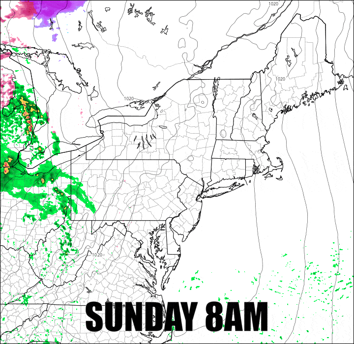
I've timestamped this simulated radar which lasts from 8AM Sunday through 4PM on Monday. The purples are sleet and the pinks are freezing r@!n, and a whole lot of it. Monday morning will be tough for many in the northern areas.
What makes Snowology special and unique is that we don't simply report the weather, or focus on the most extreme and alarming things (those folks really rub me in a wrong way), but rather we translate the weather to your skiing and riding experience. I'm going to break down the coverage this time into forecast periods starting with the Monday Forecast and then the Tuesday-Wednesday Forecast which covers the back end wind and snow.


