If you heard a bump in the night, well that was me bumping the snow forecast all over the Northeast by about 1-3 inches in general, but even more on the Northern Greens now that more detailed modeling is in full view.
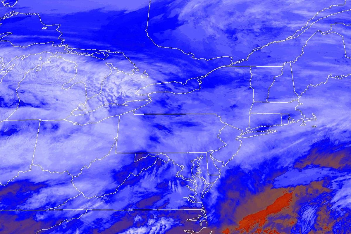
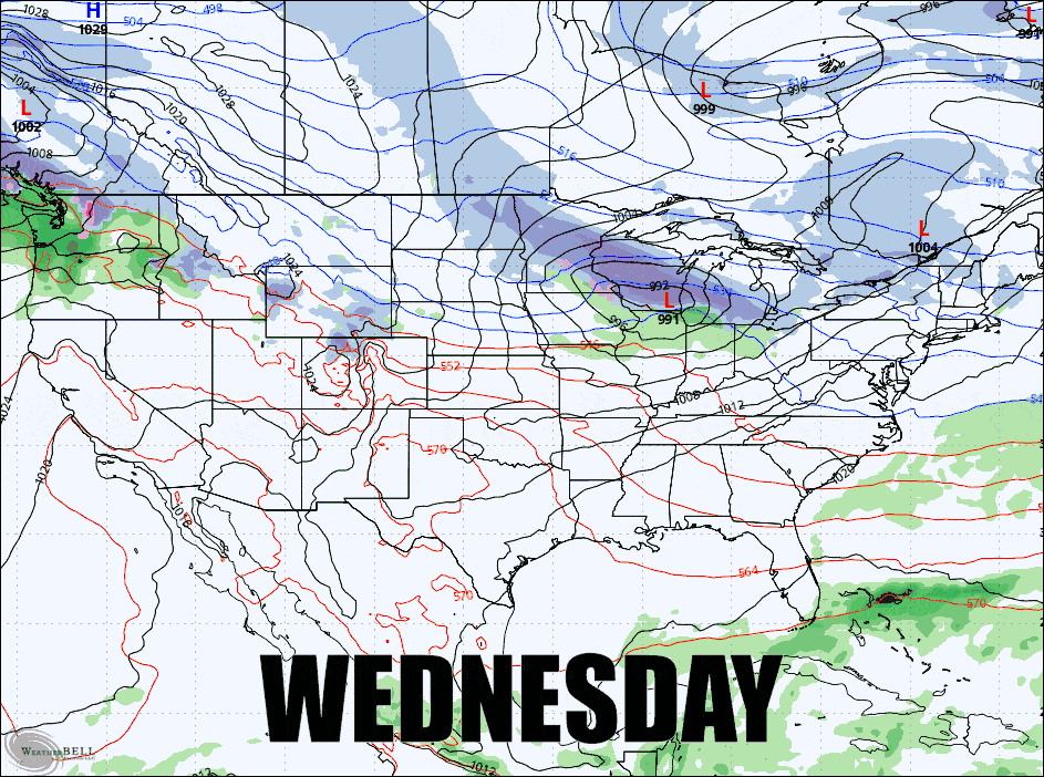
The storm is already bringing snow to western parts of the region this morning though it's advance has slowed down in the modeling which means more of the front end snow will fall after close and wait Thursday's open. Let's look at the GFS from afar covering the next 3 days.
This is a tricky storm with a thump of snow on the front end and then lots of upsloping and lake effect, but along with that some wind issues all three days with some of those wind holds reaching severe levels on Thursday and Friday. Cold air will also rush in tonight and set us up for pretty chilly weather on both Thursday and Friday before moderating slightly for the weekend. So dress appropriately, and also take advantage of this opportunity because it does look like Old Man Winter is going to take a rest starting Thursday of next week.
I'm going to break this one down starring with the Snowfall Forecast, and then go through the Wednesday Forecast, the Thursday Forecast, and then the Friday Forecast in order to keep related elements together in a more logical manner. So let's get this powder party started!


