Well, that was an interesting day now wasn't it. Thankfully many ski areas did manage to claw back substantial access in the northern areas and it even dried out in some spots for up to half the day, and conditions were in fact quite springy in the southern half of the region while the lake effect started in W-NY and snow even reached the Greens by the end of the day.
We do have a substantial back end event in front of us, most of it occurring between today and Thursday morning. I'm forecasting up to 3 feet in fact in some locations. We'll have widespread wind issues on Tuesday and of course a refreeze that will leave everyone a bit crumbly and steeper trails will get skied off easily except for W-NY where that should all get buried so you need to be careful about your plans on Tuesday for sure. We also have some chilly temps in front of us, especially in the northern half of the Northeast through Wednesday will give us a slight break but those cold temps will return and are expected to last through the weekend.
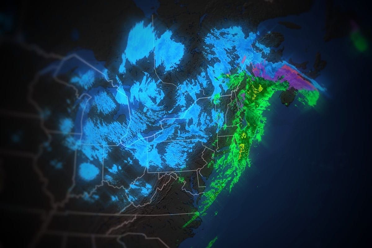
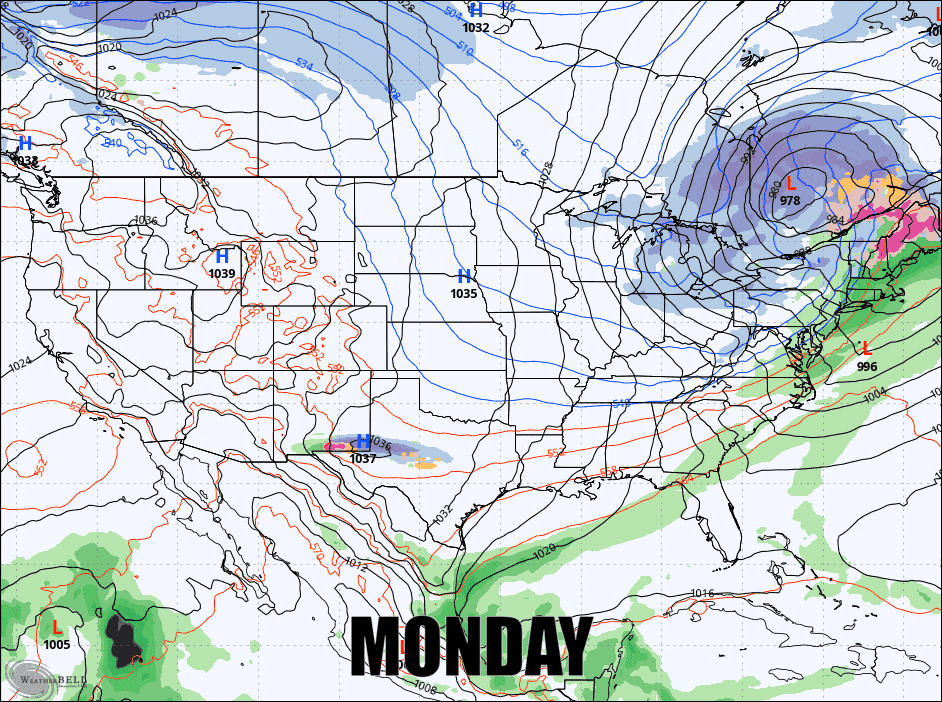
Here's the broad view from the GFS using 6-hour precipitation intensity from Monday at 4PM through the end of Thursday to get the ball rolling.
I'm going to start off with the Tuesday Wind Holds since that is something many wish to avoid. Then I'll cover the Snowfall Forecast through Thursday Morning which of course is what everyone really wants to see, and lastly I'll quickly go over the Temperature Forecast.


