Right now at Snowology HQ in Upstate NY the big fat flakes have hit as of 10:30AM, we're talking quarter sized clumps, but that's really just a tease as other things will mix in, but we're hopeful for practical all snow to fall in the ADKs and Northern New England from this storm, and probably some parts of Massachusetts also.
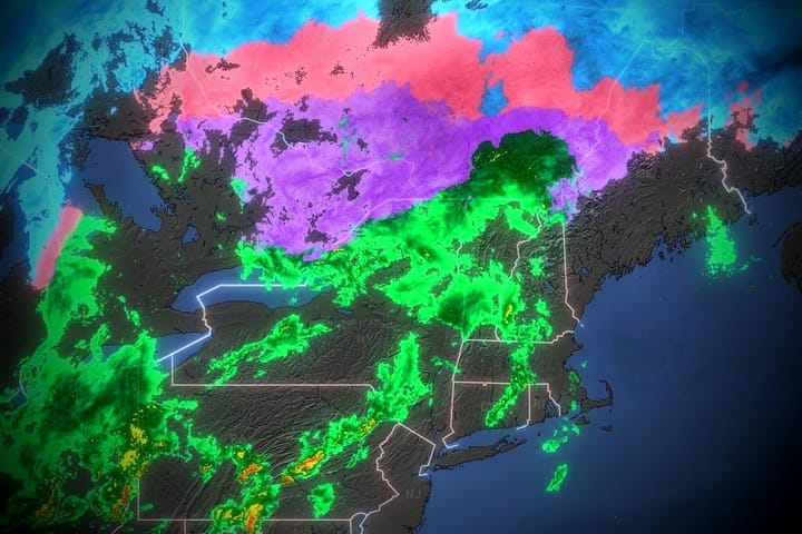
This will be the last full update about this storm but I'll switch into nowcasting to track things like the changeover line this evening and possibly any notable divergence from the forecast. Today (Friday) isn't really a hutable day but most of the snow will fall by open Saturday morning and that gives you a chance to watch this on radar (free to all on our site) and also by watching those webcams.
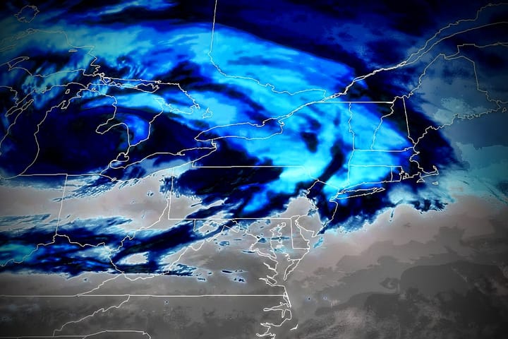
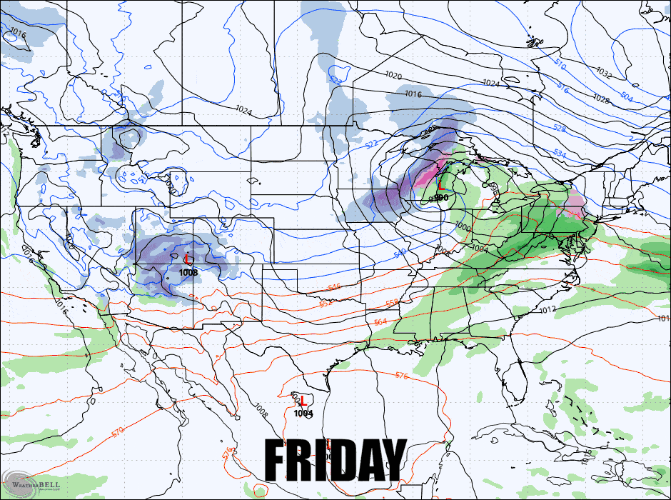
Let's start off as always with the broad view and I've again stretched this to Tuesday morning in order to also give a view of the nor'easter. I so believe there is a growing chance of moderate to heavy snow in Southern New England and also some snow in PA on Sunday, and possibly into E-PA and NJ. I will be issuing a separate Storm Update for the Sun-Mon storm later today.
I'm going to group everything under one Storm Forecast section where I detail the snowfall, the precipitation types, the travel concerns, and the limited wind concerns. Final updates tend to be very deterministic and shorter.
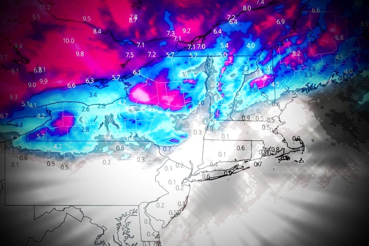
I do believe the Powculator has a pretty good handle on this storm with no ski area more than 2" different from my expectations but with a changeover storm there will always be some variability near that line. These updates are also easier to view on our website rather than email (the website is bigger on mobile devices).