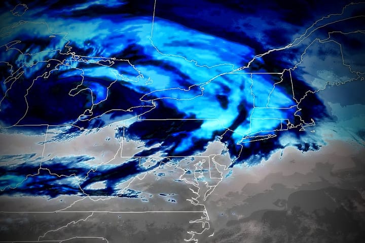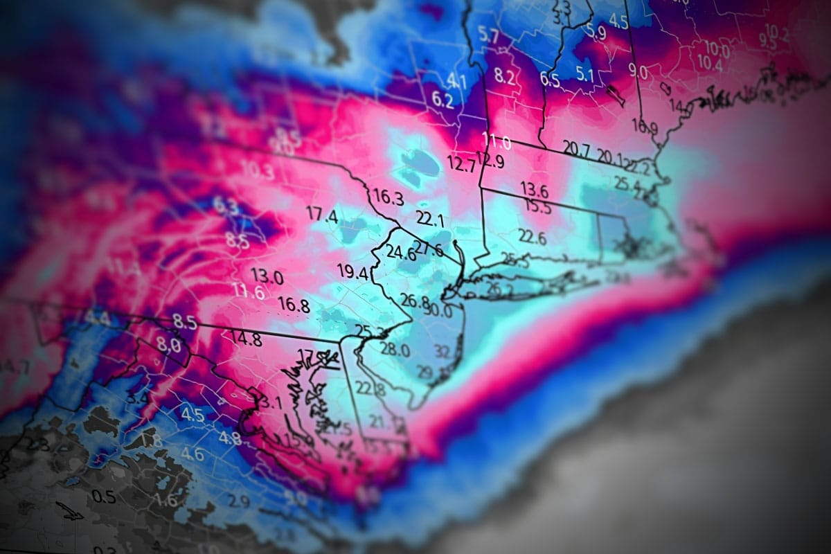
Folks, this one is actually worth the hype. We have a true blue nor'easter on our hands that will see the central pressure drop from 1004mb to 969mb in the space of 18 hours, definitely a top 5 most rapidly intensifying impactful storm we have seen since Snowology started 8 years ago. Blizzard warnings have been issued all along the Delaware, New Jersey, New York and Connecticut sea coasts so far with about 2 feet of snow expected and wind gusts in excess of 60mph, and Massachusetts will surely join the party and those warnings may be moved further inland.
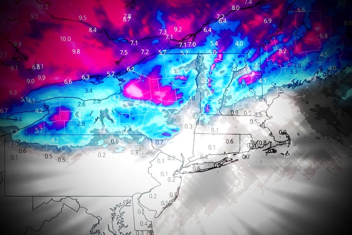
There will be no shortage of snowfall maps for this storm on the internets, but if you want to hunt this then it's often not simply about the snow, it's also about the travel and the wind, and we're going to see some serious issues where the snow is deep and I'm going to try to focus a lot on helping you hit some snow rather than just simply risking your life to crush one to two feet of snow from the magic carpet on the bunny slope.
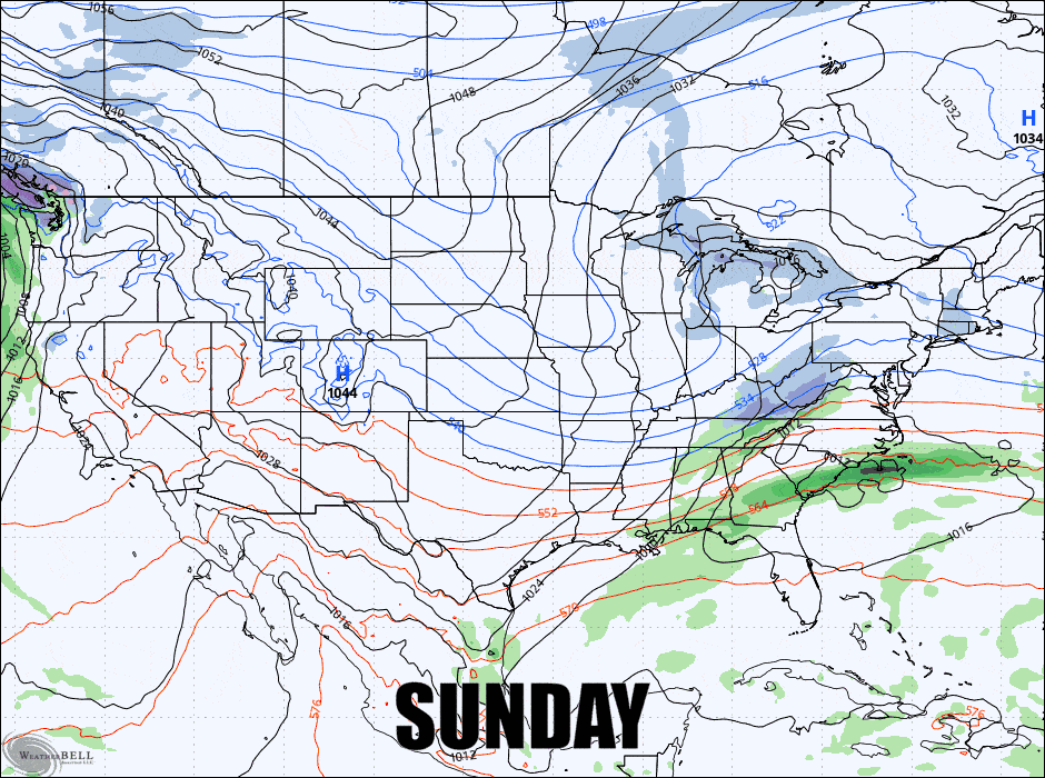
Let's start digging in with the latest GFS covering all of Sunday through Tuesday. Once again, the GFS has been solid for days with this storm but it has been inching north which makes all of the difference in the world to ski country.
I'm going to break this down into the Snowfall Forecast, the Travel Forecast, and the Wind Hold Forecast. In order to navigate this storm you need to be keenly aware of all of these things and Snowology is absolutely unique in the scope and level of detail provided.