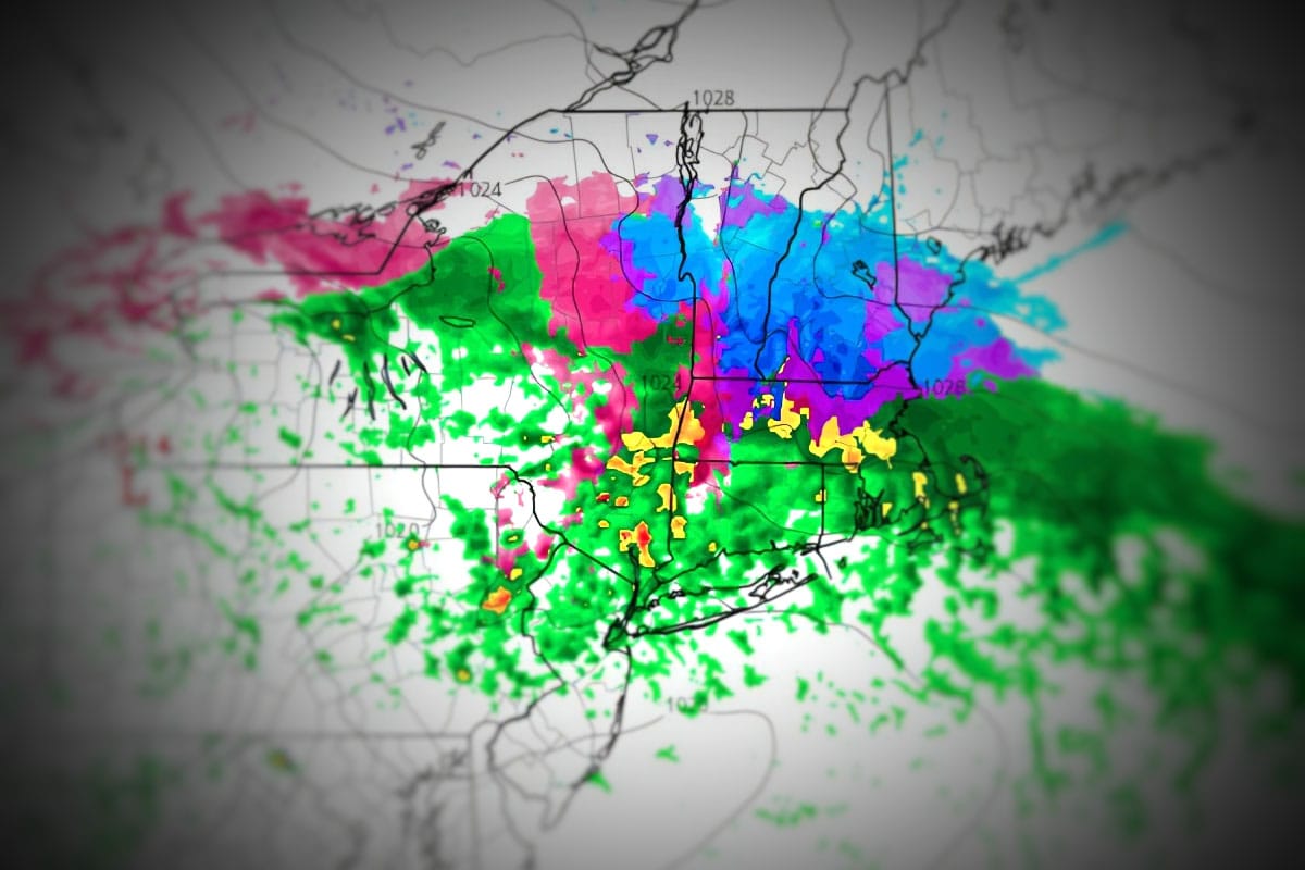
We had a bit of an overperformance in Southern Vermont and Southern New Hampshire overnight where up to 6" of snow was reported. Unfortunately temps surged today in full sun and that has caused sticky snow all over and the fresh pow only contributed to the stiction that likely started by 10AM in these areas, and this also included further north where the fresh snow wasn't plentiful as things warmed. There are a lot of things you have to look out for when gauging conditions and it's not just the wind. In March you have to pay careful attention to the temps and how much the snow has cycled. I'll share one rule for spring skiing to help you avoid some of the overly sloppy days.
Starting Thursday we have some r@!n coming in that will then transition to freezing r@!n, sleet, and snow overnight targeting mostly the same areas. There are two difference with this system, the first being that it will stay cold where the the heavier snow falls so sticky snow is unlikely, and second is that there is much more potential for sleet and freezing rain affecting more ski areas (sleet is fine). Let's start off with the wide view from the GFS covering Thursday through Friday with a 3-hour precipitation map.
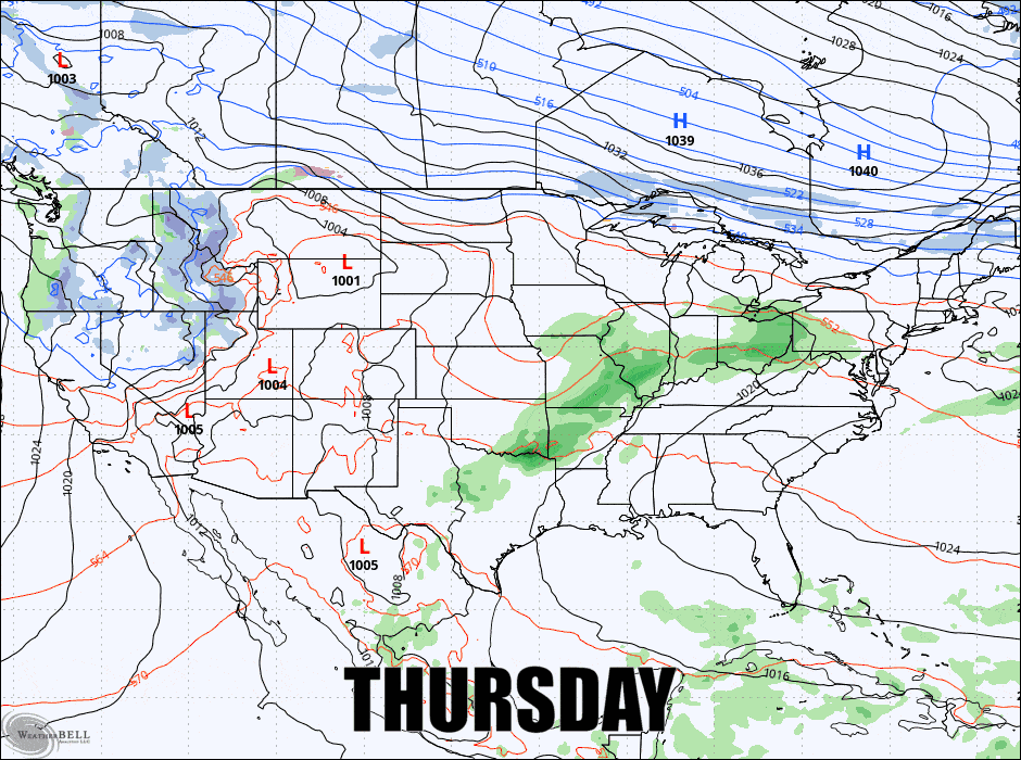
I'll cover this storm mainly related to precipitation types and conditions (we're going to freeze back up in northern areas on Friday).


