Well, this will be the last in a series of wind hold forecasts...until Wednesday. There are some limited concerns on Wednesday in northern areas from southerlies and slightly broader concerns on Thursday and Saturday based on the most recent modeling. Being south of the storm track does bring more wind, especially to the more northern areas.
Today (Sunday) we saw a moderation of the wind from yesterday's modeling which averaged a 5.08 mph drop across the most threatened part of our region and that saved some ski areas from more notable holds. When wind underperforms the modeling that I base my forecasts on we often see the most movement among the Low Risk (25%) and the Moderate Risk (50%) categories as they are generally more likely to fall below the treat level. This is who we saw confirm today:
Mont Orford
Sugarloaf (severe)
Wildcat
Jay Peak (severe)
Smuggs
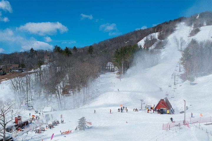
Bromley
Stratton
Whiteface
We also saw a short wind hold at Sugarbush and multiple wind holds at Mount Snow however neither reached the standard of +2 hours limiting or complicating access to +25% of non-beginner terrain. It is possible there were some other holds that I missed spotting. This was how the probabilities stacked up:
High Risk (75%): 5 of 7 (71%) Confirmed
Moderate Risk (50%): 3 of 10 (30%) Confirmed
Low Risk (25%): 0 of 9 (0%) Confirmed
Keep in mind also that wind holds are not often a reason to not go but they are always at a minimum useful to know and will help your expectations and preparations. When there are severe holds affecting 50% or more of terrain most would generally want to avoid regardless of day, but holds that we consider to be simply notable are mostly problematic when traffic is heavy as they can produce long lines at lifts on weekends, though that will generally not be a factor outside of snowstorms driving extra volume for the rest of the season. The exception is when a ski area has only one upper mountain lift that is impacted and removes access to the majority of the terrain you seek. Some do much prefer riding the nicer bubbles, gondolas, and other high speed lifts, and some also might prefer lapping terrain that is among the first to be affected, so of course YMMV.
Unfortunately it takes a lot of time to manually pick out every lift and the risk of that lift being affected so I tend to mostly do that in smaller events while notating where the severe holds are more likely. By next season I'm certain that we will be able to identify risk for every lift on our website and updated every 6 hours. It's a very complicated task to do correctly, for instance we had holds yesterday with forecasted gusts in the upper 20's that confirmed, and holds that didn't confirm where gusts were modeled in the low 40's. I will continually reine how this system is tuned and overall the automation will be even more accurate than I am doing it manually because it will update at least 4 times a day rather than once a day and those shifts in modeled winds are the #1 reason for missing wind hold forecasts. Still, these forecasts use probabilities and they max out at just 75% with good reason. Ultimately it is the operations staff and not the wind itself that determines if and when a lift will be shut down and started back up based on a host of factors, and wind modeling is not high enough in resolution to see the exact terrain in and near ski areas.