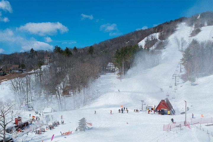
Much of the Northeast got pummeled by r@!n, freezing r@!n, some melting, and of course wind today, but that's how we roll and the recovery has already started and for much of the region we should be looking at pretty damn good conditions by the time this holiday weekend arrives and then it should only get better.
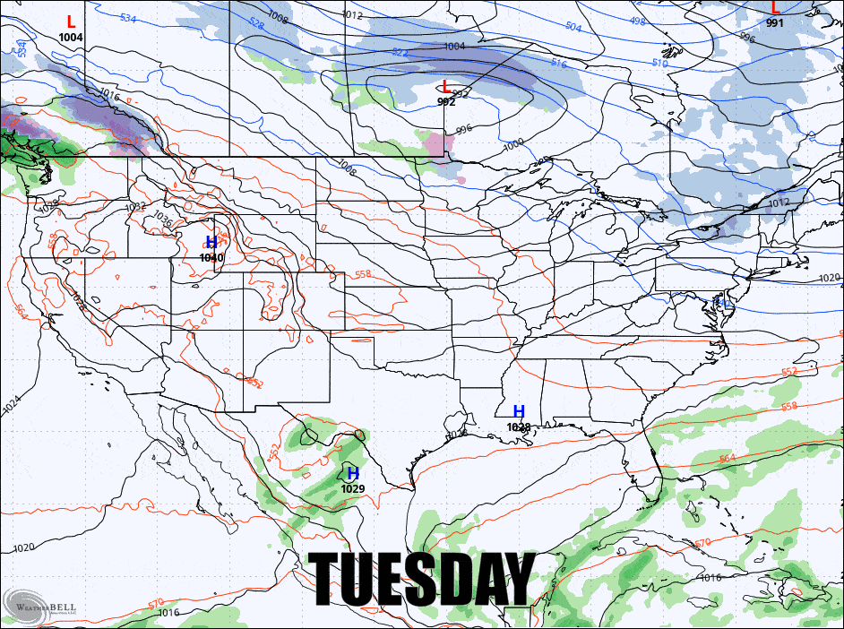
We have two big events this week to talk about. First is a big juicy clipper on Wednesday that will run into resistance and focus snow north of a persistent boundary through Thursday. Models have been playing with the possibility of a nor'easter for days during this event but there's a 90% chance you can write off a big storm mid-week though it will still snow nicely. Then another clipper approaches on Friday and also stalls out and then reloads but that deep digging trough is showing some signs of being really close to spawning a full blown nor'easter around Sunday. One way or another there's a lot of snow for much of the Northeast on its way this week. Here's the GFS Tuesday through Sunday showing the 6-hour precipitation intensity to start this off.
I'm going to start with a quite note about a Preview of Weather Automation, and then I'll jump into the Wednesday-Thursday System and the Sunday-ish Storm Potential exploring the chances of a big storm.