We're at the average peak of the cold season this week and Mother Nature is acting accordingly with a jet stream generally targeted on the Mid Atlantic and the potential for a severe cold hit this weekend with a fair amount of wind.
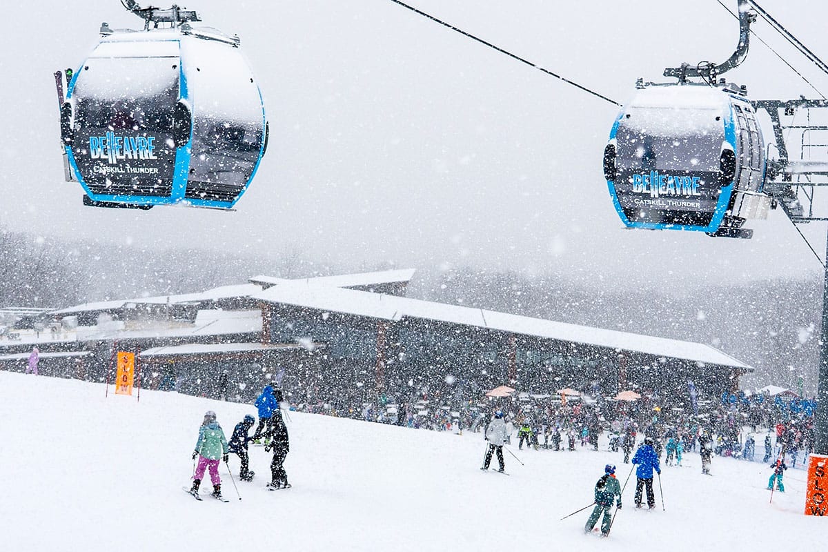
Conditions are widely great with multiple rounds of incremental snow in some areas that have been mostly snowless, targeted resurfacing, and consistently below freezing temps. I do realize that while everyone loves hearing about and watching the pow fall, not everyone chases storms and there is going to be a lot of great groomer action all over the Northeast this week, and there will be some really deep lake effect too if you want to give that a hunt, and some incremental recoatings in some northern areas to keep the packed powder freshened up and the trees skiing nicely. Sometime around Saturday or Sunday modeling does see a slider type of storm move through the Mid Atlantic however this storm does still have some opportunities to track more into the Northeast. Modeling is also seeing some severe cold in the northern areas this weekend however shifts north in the track of the weekend storm could provide some relief by nudging that very cold air back into Canada.
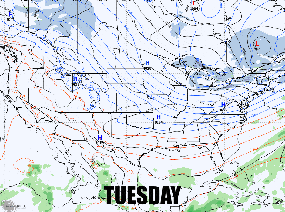
Here's a look at the latest GFS 6-hour precipitation intensity from Tuesday through Sunday to kick the discussion off.
I'm going to break this outlook down into the Snowfall Outlook, the Wind Hold Outlook, and then the Temperature Outlook for subscribers.


