The Week Ahead: Mon-Sun 2/9-15

There have been some prime conditions in Pennsylvania and comfortable temps are moving back in. 📷 Montage Mountain

Today is the last day of very chilly temps after I think three weekends being impacted by anomalous cold weather. Conditions have been superb all over for weeks but the weekenders have had a rough go of it. Thing are going to change starting Tuesday but it's far from a torch, in fact the entire region will sill average below normal temperatures this week but there will be some very limited melting in warmer areas.

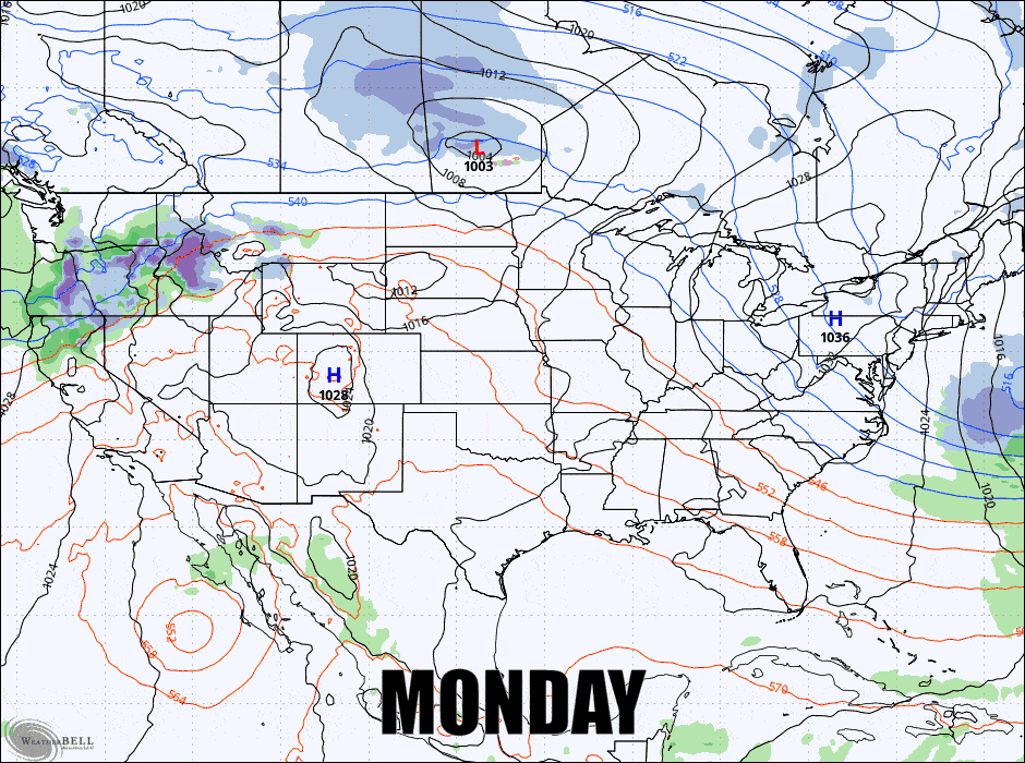
We have one sleeper storm coming in on Tuesday that should give parts of NY and New England a healthy dose of snow on the taller mountains, though spread across two days. Then on Sunday we have an opportunity for another storm. Here's what the GFS sees presently for this week.

I'm going to break this weekly outlook down into a Temperature Outlook, then a Tuesday-Wednesday Storm Preview, and then a Sunday-Monday Storm Watch.

❄️
Our new Weather section updates every 3 hours with a new blend of of the latest model runs and gives you a breakdown of not just snow, but also r@!n and freezing r@!n (we're the only ski weather resource doing this presently), and we also have past precipitation, 3-hour breakdowns of precipitation out to 7 days as well as hourly temperatures for base and summit, weather conditions, precipitation probabilities, and wind gusts for the upper most lift terminal for 183 East Coast ski areas. While some prefer our newsletters, weather app functionality is a great companion to that and actually preferred by the majority. Don't forget the radar in our Maps section either!

Temperature Outlook

SIGN UP FOR A 10 DAY FREE TRIAL FOR IMMEDIATE ACCESS SNOWOLOGY SUBSCRIPTIONS ARE JUST $29.99 PER YEAR