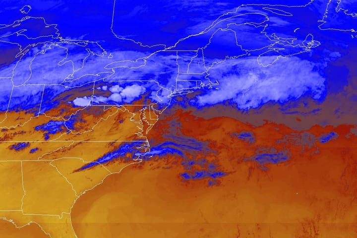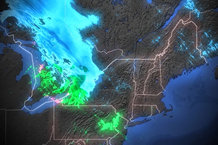
The Northeast has been separated into areas of boom and bust as the jet stream crawls slowly north with the change of seasons. On Sunday we saw record temperatures in parts of Pennsylvania while a storm was dropping over a foot of snow on the Longfellows of Maine, but today it is snowing in the Alleghenies as northwest flow sags south on the tail end of the storm as it often does and an unexpected dose of freezing mist occured in the northern areas.
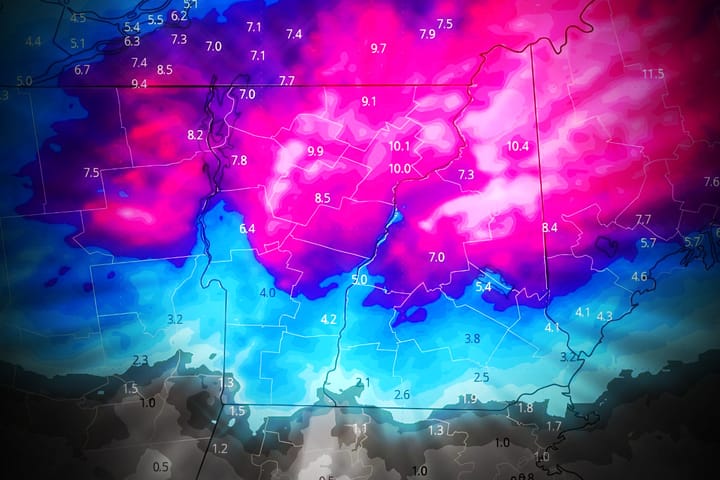
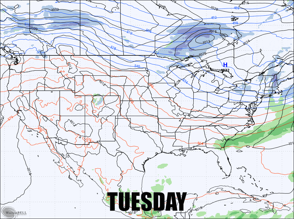
We'll stay in northwest flow until Thursday when the first of two waves comes through the Northeast which will flatten out the flow. Thursday shows some possibilities in the far northern reaches of the Northeast but at this time Friday does not, though that could change for better or for worse on both days. Behind those storms we'll drop back into northwest flow again and a large trough should dominate during the weekend bringing a refreeze to the wetted areas with limited daytime melting on Saturday and Sunday. Here's what the GFS currently shows through Sunday.
I'm going to go through the Precipitation Forecast, then the Temperature Forecast, and lastly the Wind Forecast for subscribers to help you all understand what to expect and maybe even where to go to keep scoring some pow.