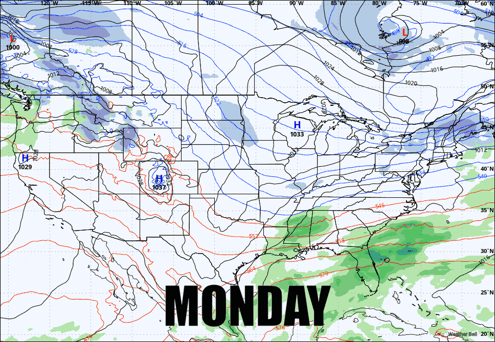
We have a fairly active weather pattern week with some weak waves that will keep snowfall stacking up slowly and one larger one that will qualify as an actual "storm" by our standards, in fact I will put out a Storm Watch today for that. Cold air will also be generally persistent this week with northwest flow and at times some chilly temps.
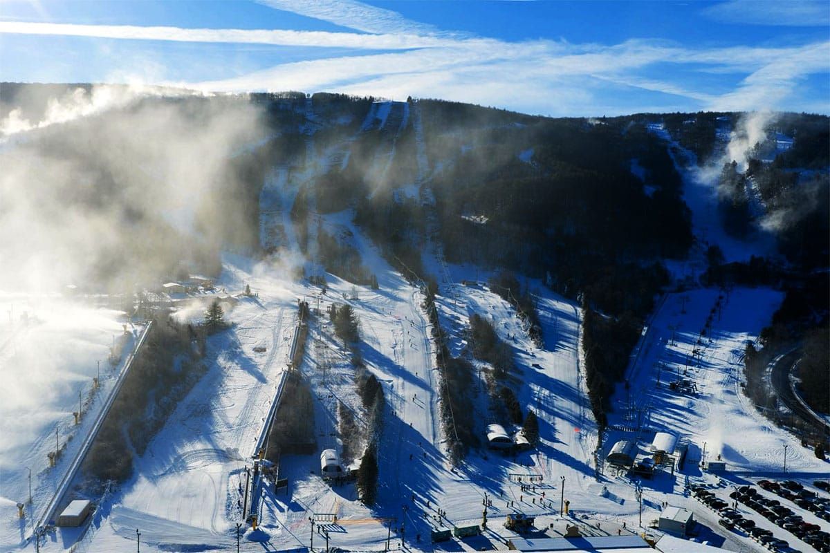
That continued early season cold means that anyone who wants to open should have enough time under the guns to make that happen by next weekend and terrain expansions will continue in full force. In the extended range we're seeing a high probability of continued northwest flow for the following weekend. So let's start getting down to business with a loop of the GFS from Monday through Sunday.
These outlooks cover a lot so we primarily focus on what's most notable for skiers and riders. I'll cover for subscribers the Precipitation Outlook, the Temperature Outlook, the Wind Outlook, and then a look at the Extended Range with a bit more discussion there.


