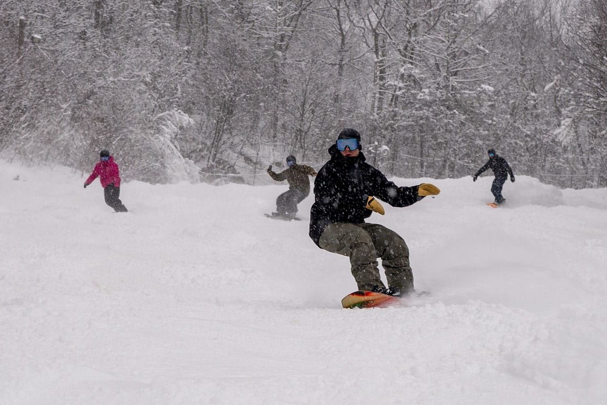
I suppose I should start out by talking about that overperforming storm which dumped up to 18" of snow on parts of PA with surprises all over the state as well as into the Catskills, Southern New England, and Vermont. I couldn't have expected that from the modeling in my wildest dreams otherwise I would have not covered that as just a light event with a bonus zone in the Alleghenies and off the Lakes. There was clearly a little more moisture to wring out of the clouds as well as some uncommonly fluffy snow in the southern half of the region that lead to the relatively massive overperformance. Not many complain though about getting 2"-6" in extra snow. PA is doing great and it's just December, and if PA is doing great in December then so is everyone else in the Northeast for this time of year. We've got to be at near record terrain for December 15th across the region!
All good things though must come to an end. We've had a notable stretch in the early season of not melting at all in the northern areas (ADKs, Greens, Whites, and Longfellows) with consistent snowmaking temps all over the Northeast, but we've been living on borrowed time and the Ice Coast demigod beckons for a sacrifice of our pow once again to remind us that his name is deserved and that we need to sharpen our edges regularly. Wednesday starts the warm up, and Friday is the day that things go downhill. How bad? Enough to cause some conditions issues this coming weekend but I would only rate this as a light to moderate skunk-fest, as skunk-fests go. And with that here's what the GFS sees through Sunday:
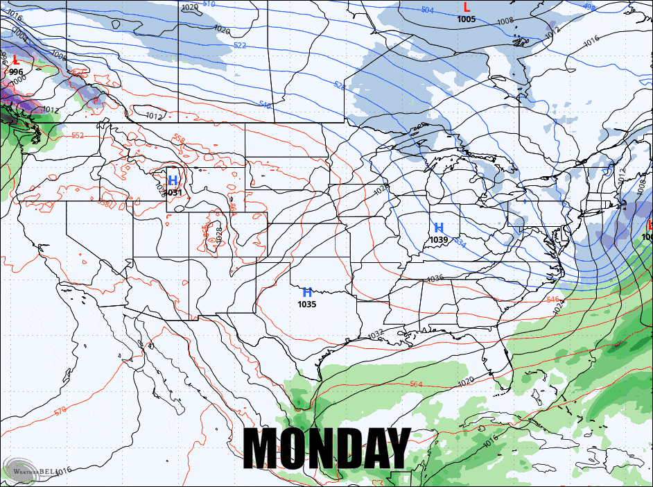
I'm going to break things down with the Precipitation Outlook, then the Temperature Outlook, and the Wind Outlook, and top it off with a little Extend Range Outlook tarot card reading.


