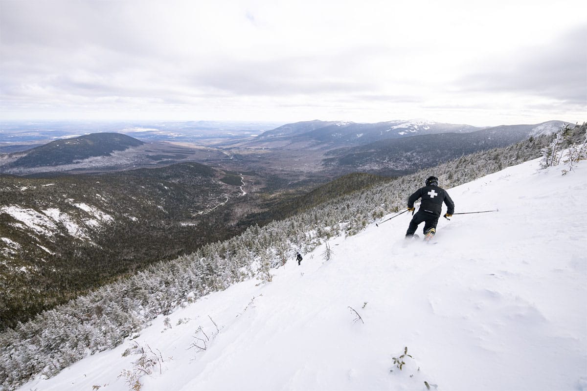
Spring has sprung already in parts of the Northeast and by the weekend it will push all the way into Quebec along with with unsettled weather with the only primarily dry days being Monday and Wednesday across the region, but the precipitation won't be heavy, and two of the days will feature snow in some areas but r@!n, freezing r@!n, and sleet also. Tracking the temperatures will be just as important as tracking the precipitation as it often is in March since warm or wet days followed by refreezes and potential melting at some point in the day. Right now you either want to target the snow or the dry windows above freezing, and there will be some sticky snow in the northernmost areas when they rise above freezing at first.
It's going to be tricky to navigate but if you have a multi-pass or don't mind paying for tickets to indies, you can probably hunt your way around this, though as always, 5 days out modeling will change and you'll need to be prepared to call an audible to make the most out of the weather and conditions.
Here's the latest GFS covering Tuesday through Sunday to start things off.
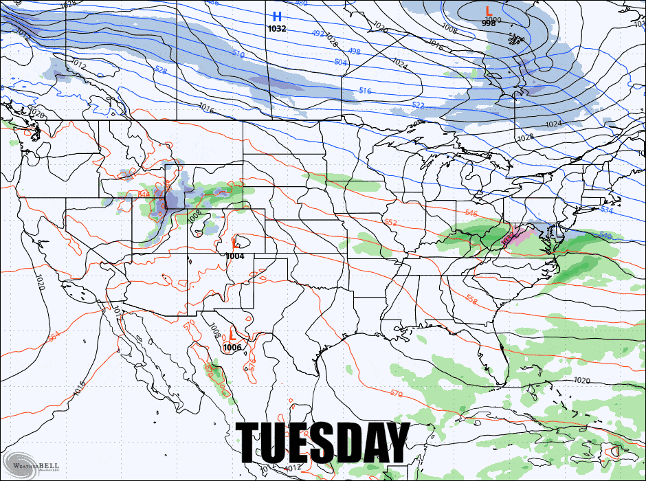
There will be huntable snow, though not widespread, so I'll start with the Precipitation Outlook, and then the Temperature Outlook, and finally the Wind Hold Outlook.
I can't of course cover ~150 different ski areas in detail down to the day with written forecasts and given the nature of this week. Our Weather section however is your best guide for navigating the temps and the precipitation, and we do provide a breakdown of not just snow in 3-hour blocks, but also freezing r@!n and r@!n and it will update every 3 hours with the latest modeling adjustments.


