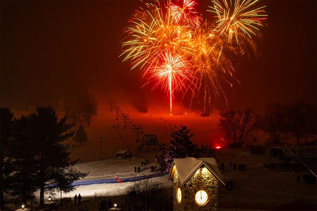
We've had a roller coaster of weather in the last week but northwest flow is yet again dominant in the Northeast and will remain so at least until Tuesday of the next week. That means cold weather this weekend, especially in the northern half of the region, and it also means more lake effect and a couple pulses from shortwaves to amp things up a bit.
Before I get into the recent past and future, I just want to note that I no longer expect any notable wind holds on Friday morning due to the timing advancing. There might be some slight delays first thing around Wildcat, Sunday River, and Sugarloaf but hang around, they'll all lift soon enough if they do occur.
Here's what the snowfall has looked like in the last 3 days since that icy storm hit us.
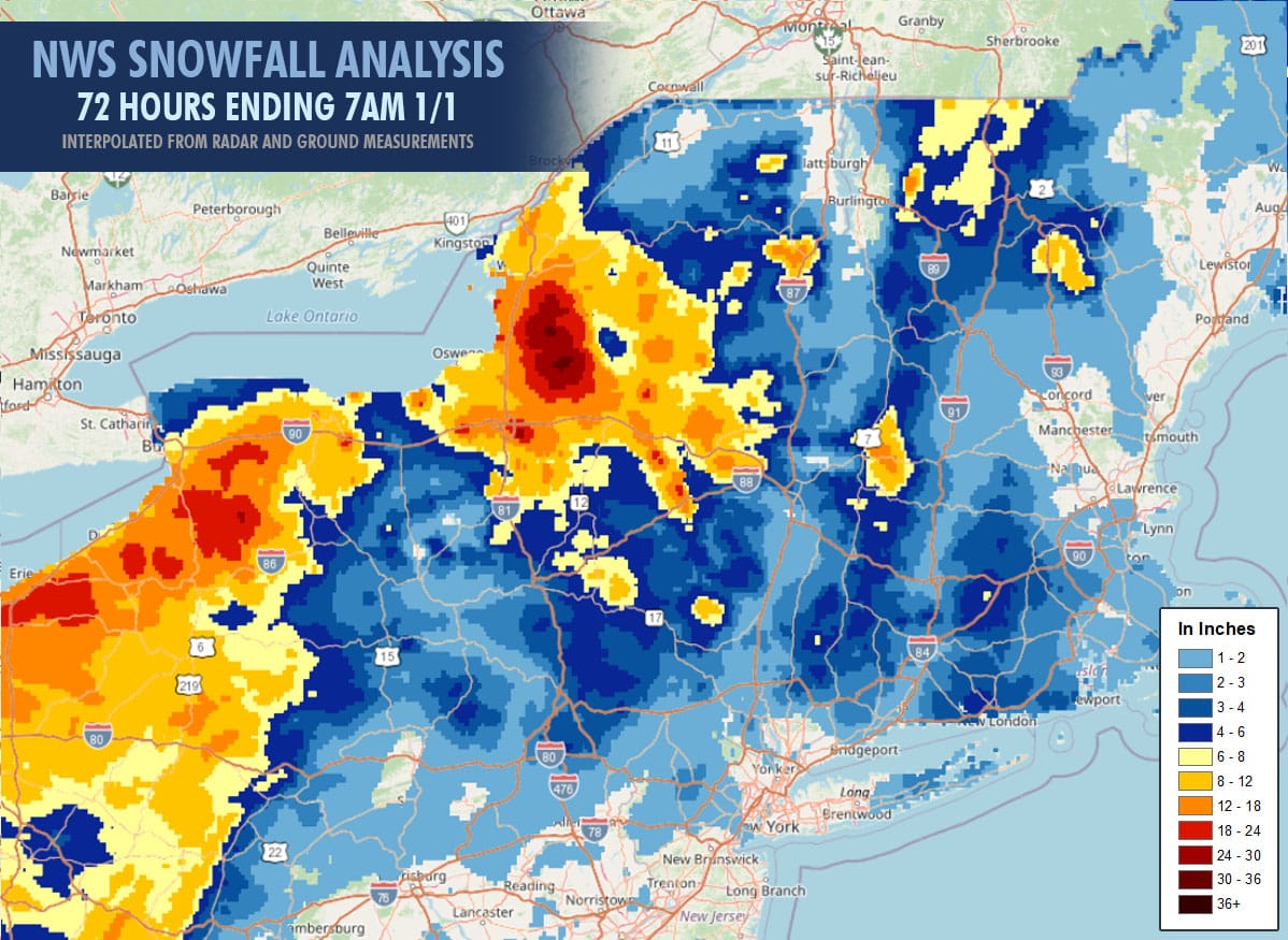
We're above 2 feet now at some W-NY ski areas and the area around the Tug Hill and out to Royal Mountain is reaching 12"-18" so far and the Alleghenies also, the Northern Greens have generally picked up 8"-14", and the Northern Whites and Southern Greens about 6"-12" in the last 3 days. Northwest flow unfortunately doesn't benefit Southern New England, S-NH, and ME very much but at least the cold weather is allowing snowmaking to produce and surfaces are building fine granular in these areas that should mostly hold up to moderate traffic outside of the steeper sections.
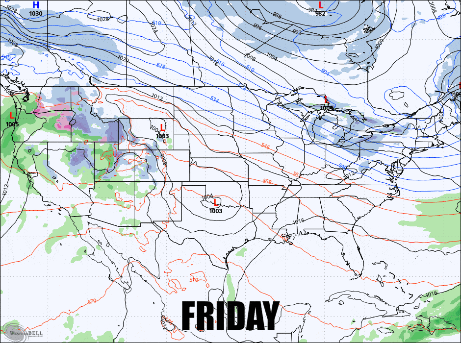
Here's a loop from the GFS showing 6-hour precipitation intensity Friday through Monday to start the outlook out.
I'll break down this weekend into the Precipitation Outlook, the Temperature Outlook, and the Wind Hold Outlook for subscribers.


