
We've got a big holiday weekend in front of us following an elevation storm with another light storm coming in later today and wrapping up mostly by Saturday evening, and models are increasingly teasing a late Sunday into Monday nor'easter, though right now modeling doesn't quite reach the strength that we would classify as that but the trend is your friend.
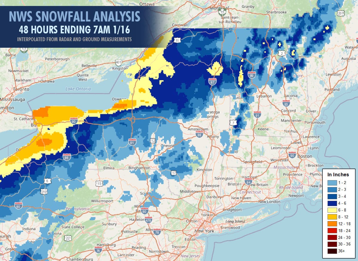
Here's the NWS Snowfall Analysis for the last two days. Keep in mind that in most cases we saw rain at the bases. The back end of this storm did underperform as a second unmodeled low formed in W-NY which prevented the storm from pulling the back end east and it also came in notably more dry. Note that this analysis often comes in low on taller mountains though this does generally look only slightly low.
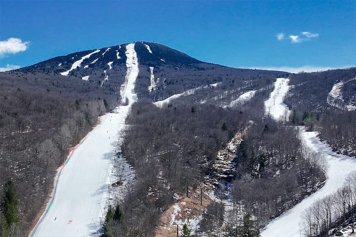
Wind gusts speeds did drop notably in the modeling in NY and VT in the last 24 hours however cold air downsloping into VT and our forecast is generally confirming across the region with a number of severe holds.
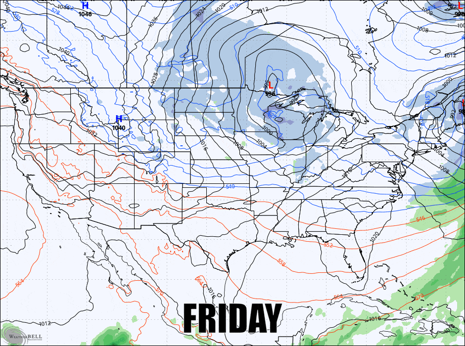
As far as what's in front of us here's the 6-hour precipitation intensity loop from the GFS covering today through Monday to set this holiday weekend up.
I'm going to break down this update for subscribers into two sections based on the two bigger snow opportunities starting with the Friday-Saturday Storm and then the Sunday-Monday Storm (which is still evolving).