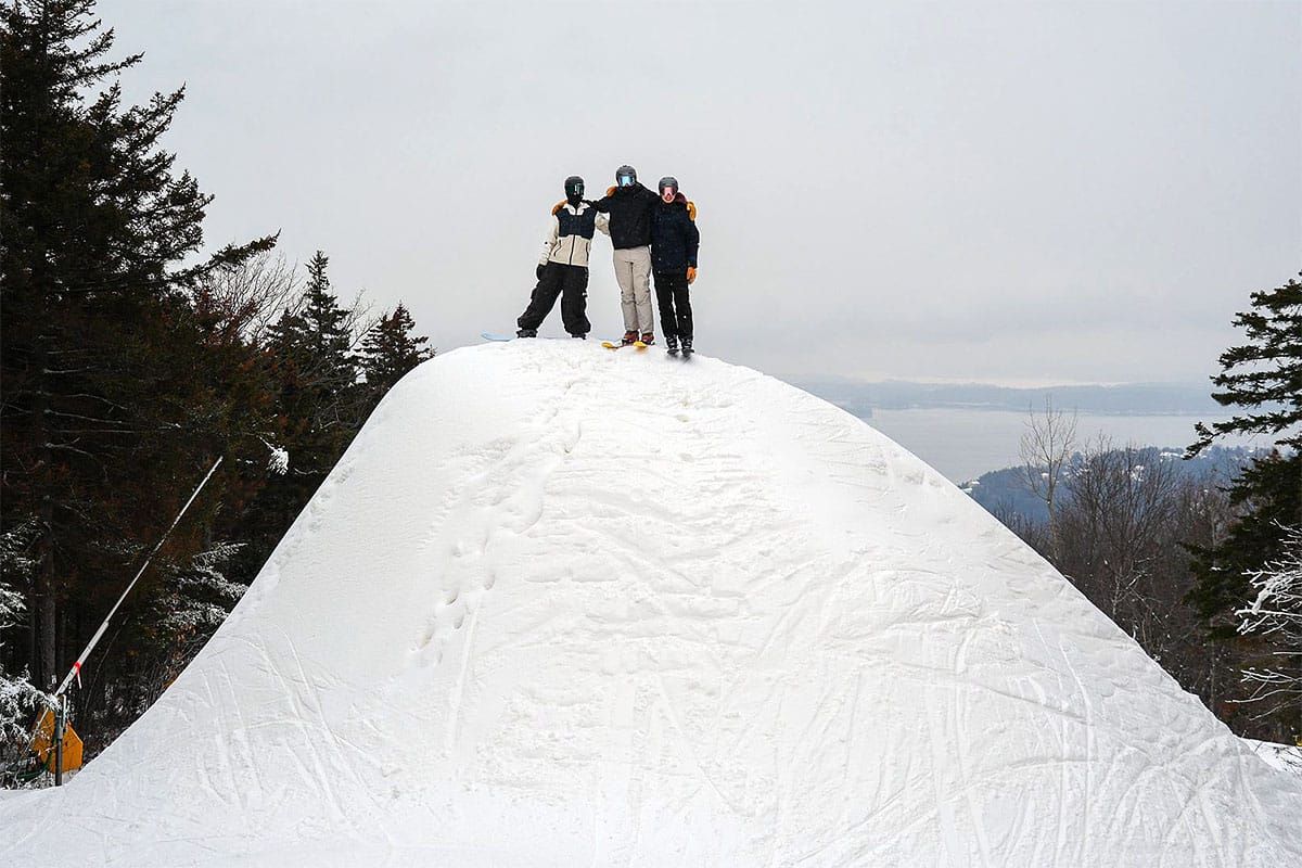
Man, winter dug in and isn't quite ready to take a break. We've had a series of weak clippers and one clipper on steroids that have dumped widely on the Northeast bringing snow to almost every ski area that will be open this weekend with many receiving 6"-24" since Sunday, and conditions were already widely great so this weekend should be even better. We do have a warm up coming around next Wednesday but it might not be too terribly bad (fingers crossed). So get yourself out to get yourself some. We do expect that popular resorts will be busy, but terrain expansions are widely ahead of schedule for this time of season and even some of the smaller guys are now offering significant percentages of their terrain.
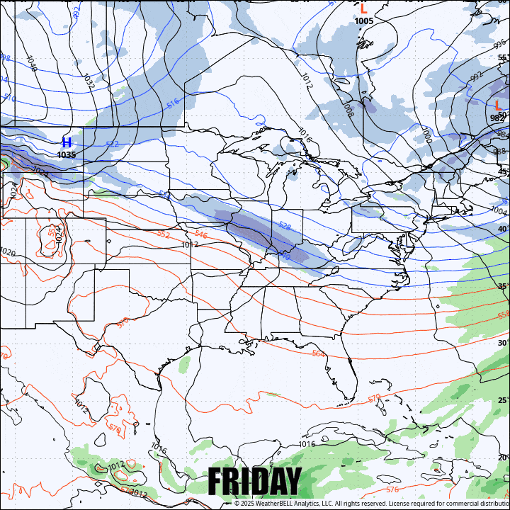
As far as the 4 day weekend period goes, we'll see some moisture from this last system continue on the upslope during Friday and the lakes are going to be productive through Monday, though at a slower pace. We also have a clipper from the north that will drag some moisture through mostly NY and VT during Saturday, and then Saturday evening a weak shortwave will start to pass through the southern half of the region bringing light snow accumulations to much of that area. Here's what the broad view looks like from the GFS through Monday.
Now we do have some continued wind hold concerns on Friday and it is likely we'll also see some wind holds on Monday, but the weekend will primarily feature packed powder and seasonally cold air with Saturday being the most temperate all around. I'll cover all 4 days of this period in detail for subscribers in Daily Forecasts below, but I'm going to start off with a bit of a Storm Postmortem, and end with some Untouched Pow Beta.


