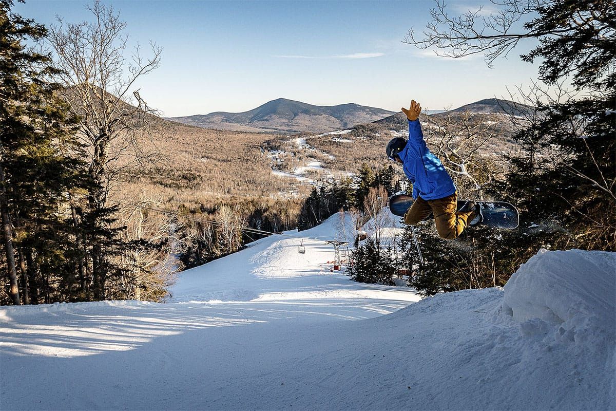
The pow party of course is ending tonight with a powerful cutter that is passing well north into Quebec but dragging a period of moderate to heavy r@!n along with some pretty extreme winds. This is going to mess up Friday for almost everyone as we have been warning, and there will be some remaining wind issues into Saturday morning and we'll refreeze of course which will ruin natural terrain for all but the most hardy despite some consolation snow on the back end. Given that this is our first real icing event of the season it won't be that bad overall and every ski area will have plenty of time to groom while frozen before Saturday, but sharpening your edges are probably the #1 thing you could do to improve your enjoyment while the groomers do their part.
We do have a brush of a clipper on Sunday that will be helpful though it will also bring more wind issues on Sunday and Monday. I don't a natural terrain recovery until next Tuesday when another clipper comes to visit us with presents of pow. This is of course the Northeast, and this is how we roll in the thick and thin of winter, but trust me, there's far worse skiing and riding in much of the West still and we have tons of terrain for mid-December and even a natural base in most areas that have substantial natural terrain.
So let's start with the 4 day 3-hour precipitation intensity loop covering Friday through Monday for a little situational awareness before I dial it in.
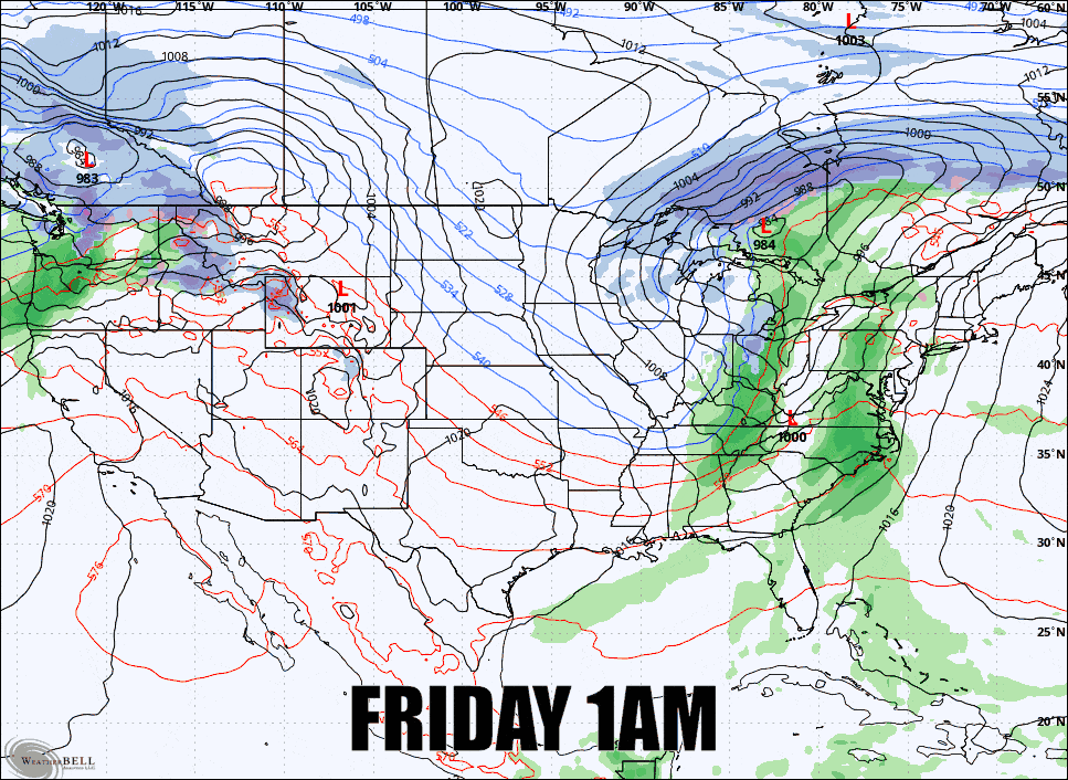
I'll be covering all 4 days individually with Daily Forecasts for subscribers focusing on precipitation, wind, and temperatures with a little discussion of conditions and even travel concerns.
BTW, I know some people don't like reading and scrolling to find information, but weather apps with numbers on a page can't communicate what these forecasts do, even for single locations. If you put in the time Snowology will help make you better informed and that does matter.


