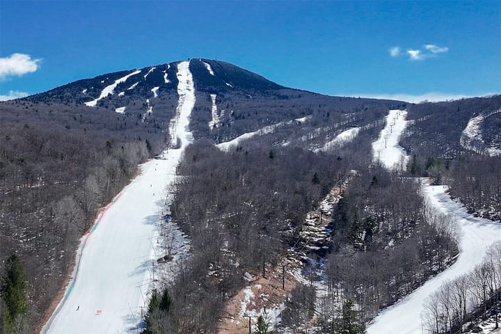
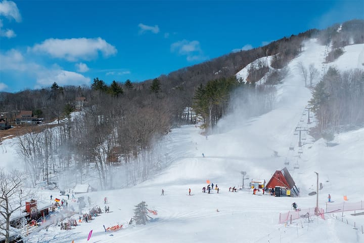
We have another windy day ahead of us I'm afraid. This is a pocket of cold air and it's likely going to accelerate on the downslope making it worse than this one might look but we've seen man of these events recently. I have 24 ski areas rated with risk on Sunday with the lifts and timing identified, and very likely at least half of those ski areas confirm notable wind holds during Sunday. Yeah, icing up with wind is kind of how we roll, but we sort of think this is "normal" for the Northeast. We were getting spoiled for a little bit but we're back to hunting for opportunities and Tuesday will likely be the next good one.
We do have a brush of a clipper with some snow from that cold front dragging though but I only expect about 1"-3" at CNY, the ADKs, and Northern Greens ski areas. Nothing has changed with that, unfortunately. The next good opportunity will be on Tuesday but modeling has shifted the focus away from the northern areas and into the Tug Hill, CNY, Catskills, NEPA, and Southern New England. Not really quite a "storm" though due to accumulations primarily being less than 6".
💨
Wind hold forecasts confirm when access to 25% or more of non-beginner terrain is limited or complicated for a period of +2 hours. Severe holds limit access to 50% or more of terrain.


