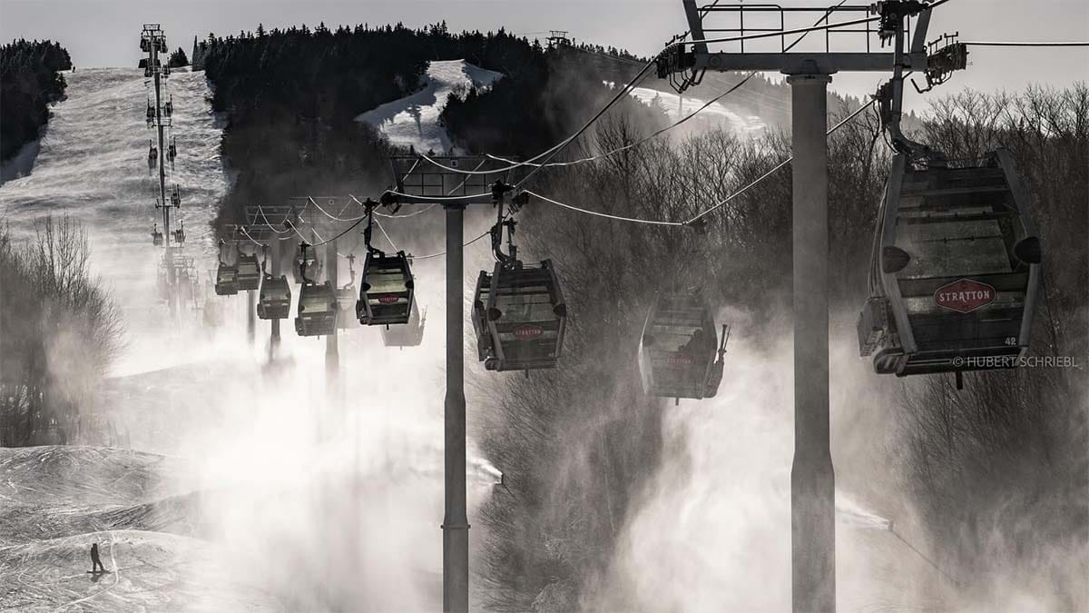
After some less than optimal conditions for the previous two big ski weekends, things appear to be in full swing now with both man-made snow and some of Mother Natures crystalized tears to soften the slopes for Presidents' Weekend. The ski industry needs this, but so do us skiers and riders of course. When we're happy they're happy!
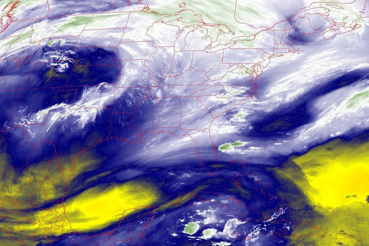
We have an active pattern across the Northeast and starting tonight and through Monday northwest flow will bring us three different pieces of energy and practically all of it snow! Let's start off with a loop from the most recent run of the ECMWF covering 4PM Thursday through 4PM Monday to set things up.
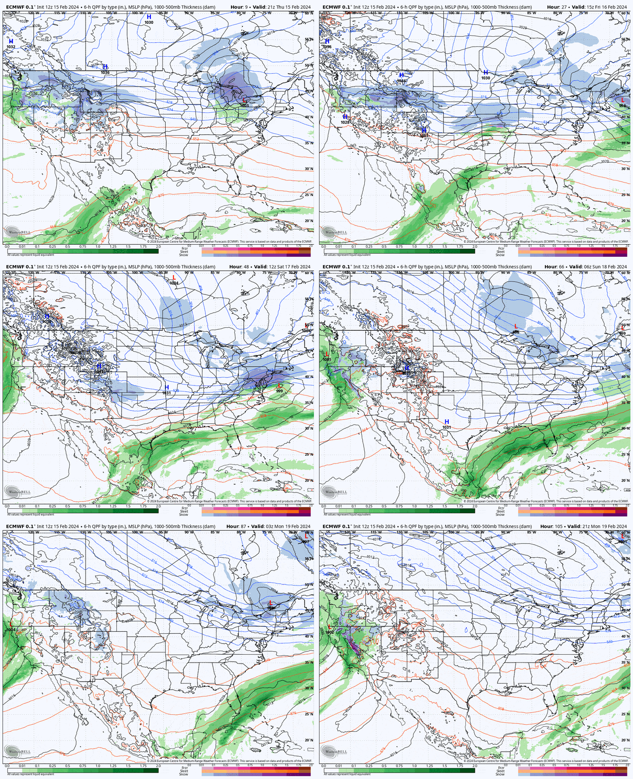
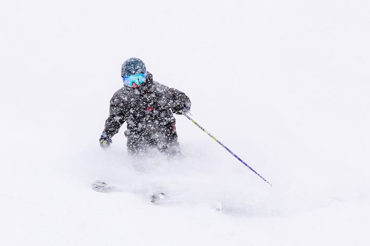
Tonight's storm has already been fully forecasted in Storm Update #2 (there's wind with some of that snow folks). That snow does help set up the weekend though and we'll have another clipper streaming south on Saturday, and then a brush from up north Sunday into Monday. If you want pow there will be multiple opportunities to find it, and if you want deep pow, we'll tell you where it is at!
I'll walk you through the notable weather for Saturday, Sunday, and Monday. I have a snowfall map for the Saturday system to share, and some wind concerns for Monday. I also have a text-rich section on Holiday Pow Hunting! It will generally be a great weekend unless you find yourself in too big of a crowd.
Let me remind everyone of the Snowology Club discounts that come with our subscriptions, we have 20% off Glade Optics plus 10 ski areas currently offering 50% off a lift ticket for each of our subscribers and while some are blacked out this holiday weekend, Titus, Royal Mountain, Snow Ridge, Whaleback, and Mount Southington have no restrictions. It will be a busy weekend and many of these places will have plenty of capacity for you. Holidays are a great time to explore! After Monday you can also add Catamount and Berkshire East to the list of options.


