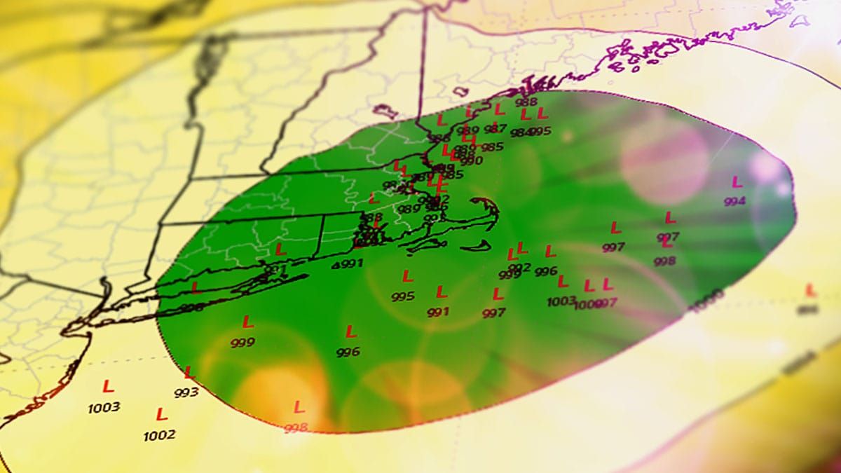
If you saw our Storm Watch for the holiday last night then you probably know that the widely hyped Thanksgiving storm is probably not going to be a blockbuster coastal storm. We're still in the 'probabilistic' stage of forecasting where I talk about trends and probabilities while showing the various outcomes and what I think is the most likely. By Tuesday I'm hoping for better model agreement and possibly the start of 'deterministic' forecasting with a snowfall forecast that I don't have to use chicken bones and voodoo to generate.
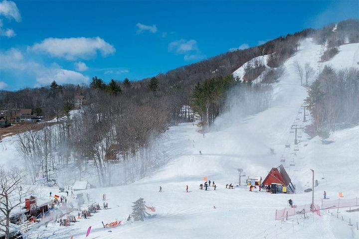
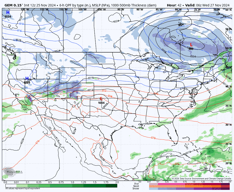
Regardless of what happens with the coastal storm there will likely be a very nice back end snow event that could last up to 4 days with notable amounts of lake effect snow and also the potential of meaningful upsloping snow in parts of N-NY, N-VT, and N-NH. Let's start with a model loop showing Wednesday through Sunday. I'm showing the GEM (Canadian model) which I think is the closest of the 3 major medium-range models to what I expect to happen at the moment.
In this update I'm going to cover first the Track and Intensity, then I will go over Snowfall Projections, and last I will cover the Back End Snow.